item:- private collection : 10.5
image:- © see bottom of page
 CL05.jpg
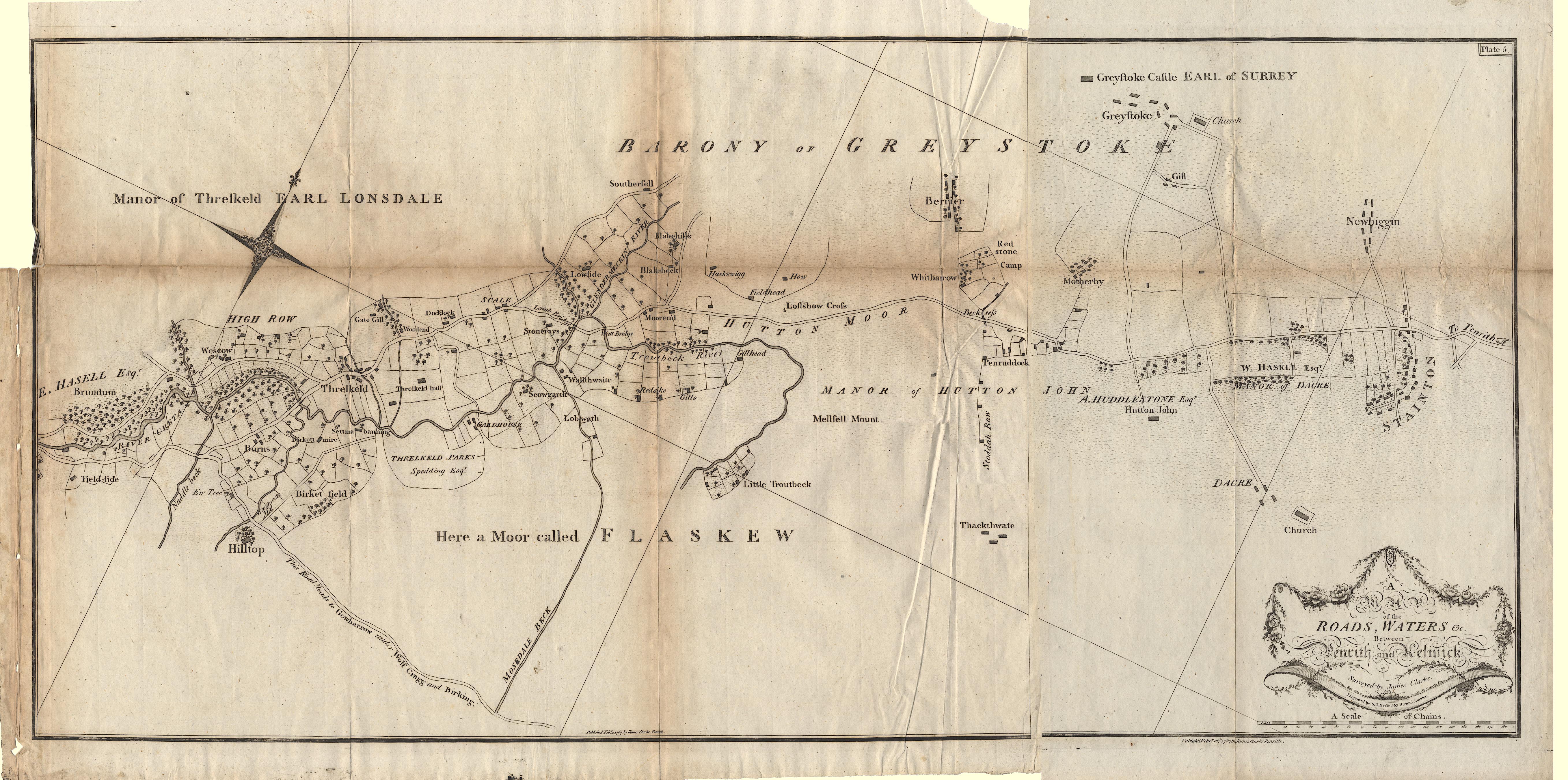
Map, A Map of the Roads, Waters &c between Penrith and Keswick, scale about 2 ins
to 1 mile, by James Clarke, engraved by S J Neele, 352 Strand, published by James
Clarke, Penrith, Cumberland and in London etc, 1787.
 Lakes Guides menu.