item:- Armitt Library : A1711.3
image:- © see bottom of page
 CK12.jpg
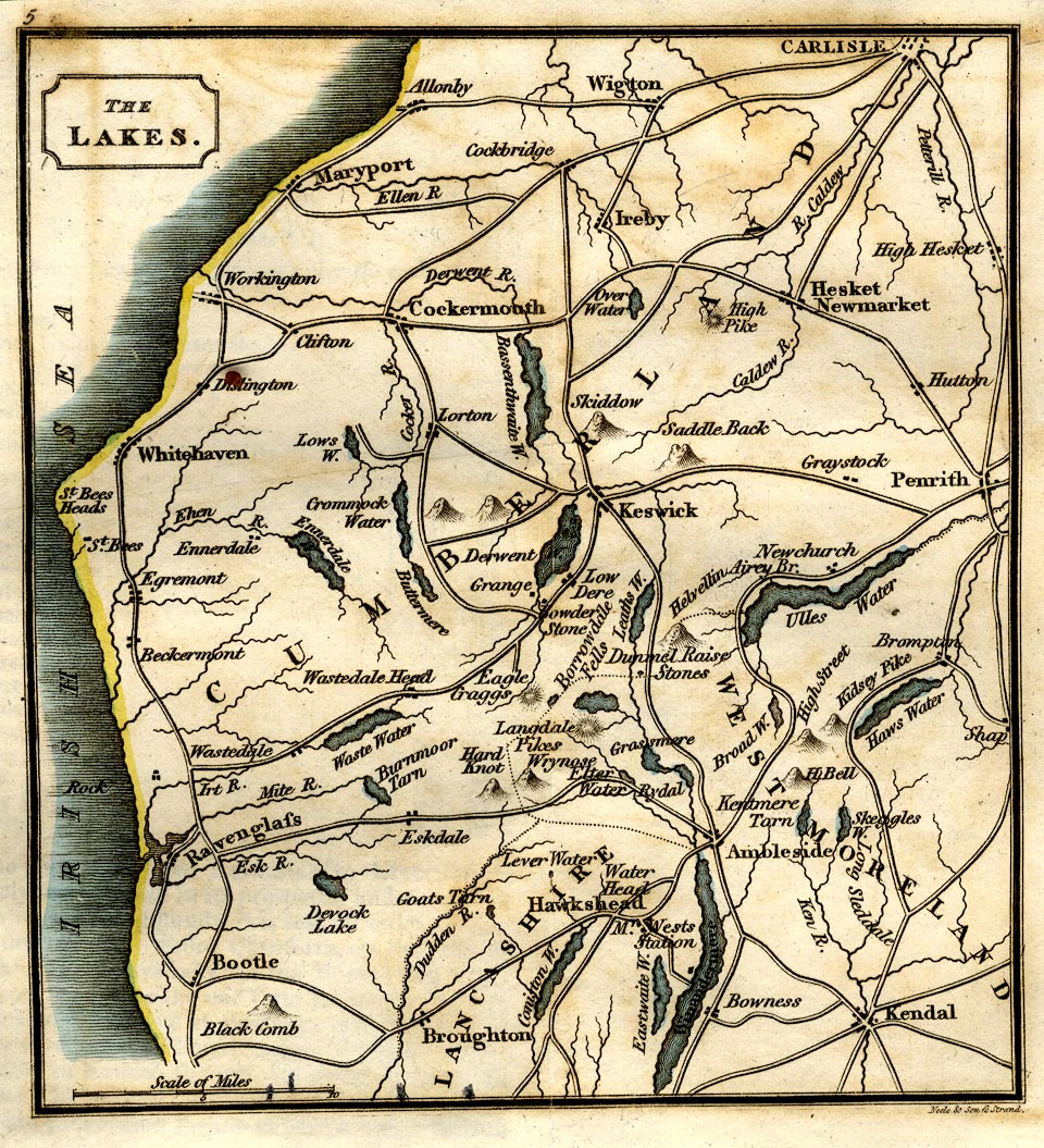
Map, The Lakes, Westmorland, Cumberland and Lancashire, scale
about 8.5 miles to 1 inch, by George Cooke, engraved by Neele
and Son, Strand, published by Sherwood, Jones and Co,
Paternoster Road, London, 1803-10.
 Lakes Guides menu.