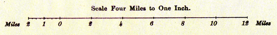
Maps, Westmorland, Cumberland, and Lancashire, to illustrate extracts from the Census 1901, scale about 4 miles to 1 inch, printed by the Ordnance Survey, Southampton, Hampshire, published by HMSO, London, 1902. (Census 1901 map)
Lakes Guides menu.
 Lakes Guides menu.