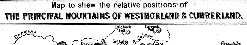
Map, Principal Mountains of Westmorland and Cumberland,
scale about 4.5 miles to 1 inch, by E C Batty, published by
Sampson Low, Marston, Searle, and Rivington, St Dunstan's
House, Fetter Lane, Fleet Street, London, 1888. (Batty 1888)
 Lakes Guides menu.