item:- private collection : 155
image:- © see bottom of page
 BS03.jpg
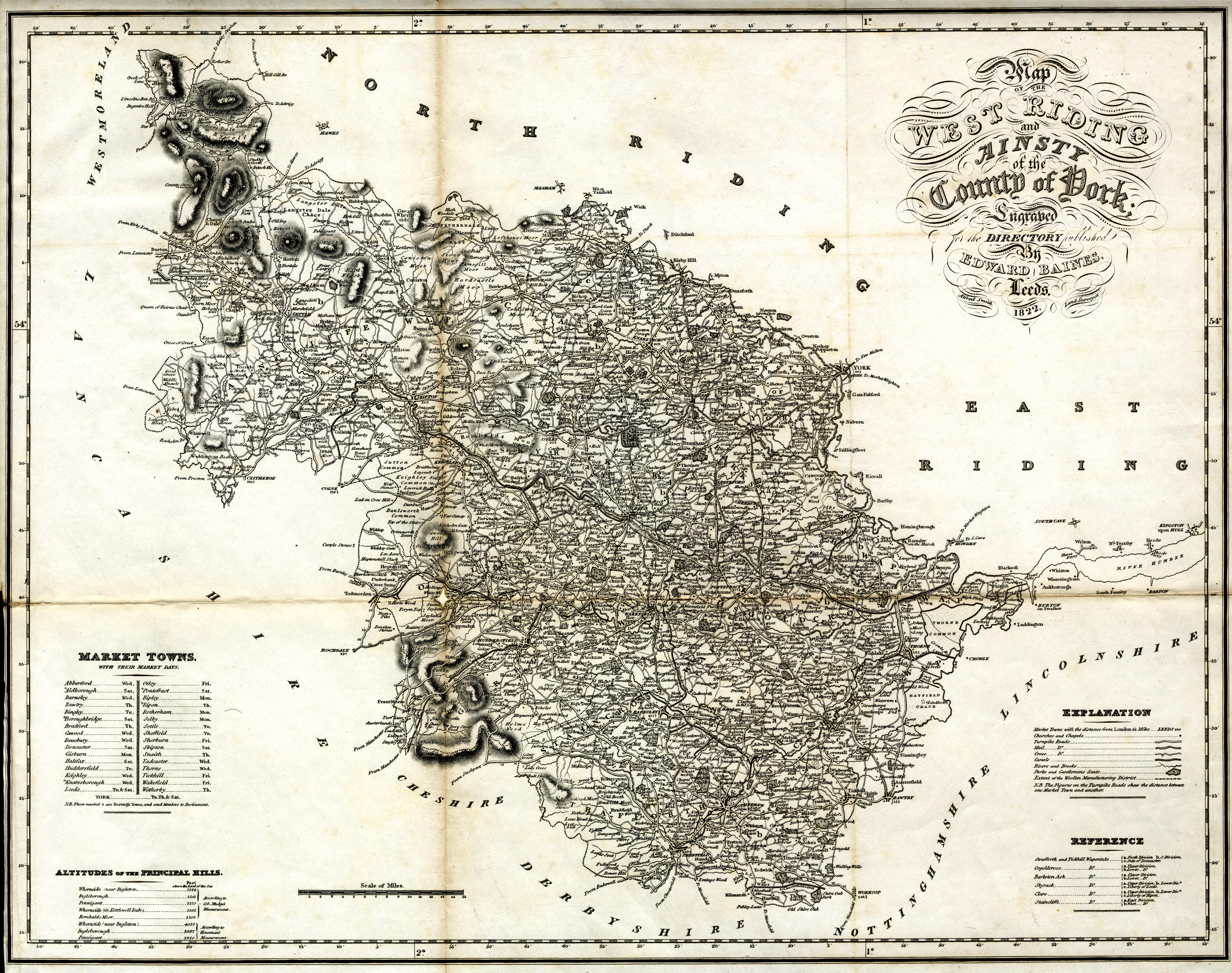
Map, uncoloured engraving, Map of the West Riding and Ainsty of
the County of York, scale about 5.5 miles to 1 inch, by Alfred
Smith, published by Edward Baines, Leeds, Yorkshire, 1822.
 Lakes Guides menu.