item:- Hampshire Museums : B2000.285.6
image:- © see bottom of page
 BRK2.jpg
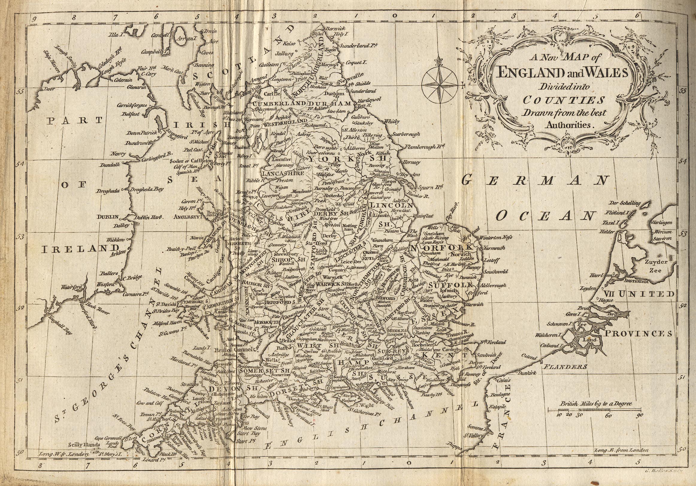
Map, uncoloured engraving, A New Map of England and Wales, scale
about 60 miles to 1 inch, engraved by G Relles, inserted in
Brookes's Gazetteer, published London, 3rd edition, 1773.
 Lakes Guides menu.