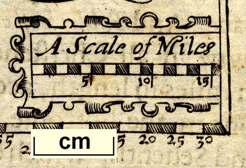
Maps, Westmor Land, scale about 17 miles to 1 inch, and Cumberland? probably derived from the map by Peter Keer, 1599, by John Bill, London, 1626. (Bill 1626)
Lakes Guides menu.
 Lakes Guides menu.