item:- private collection : 193
image:- © see bottom of page
 BGS539.jpg
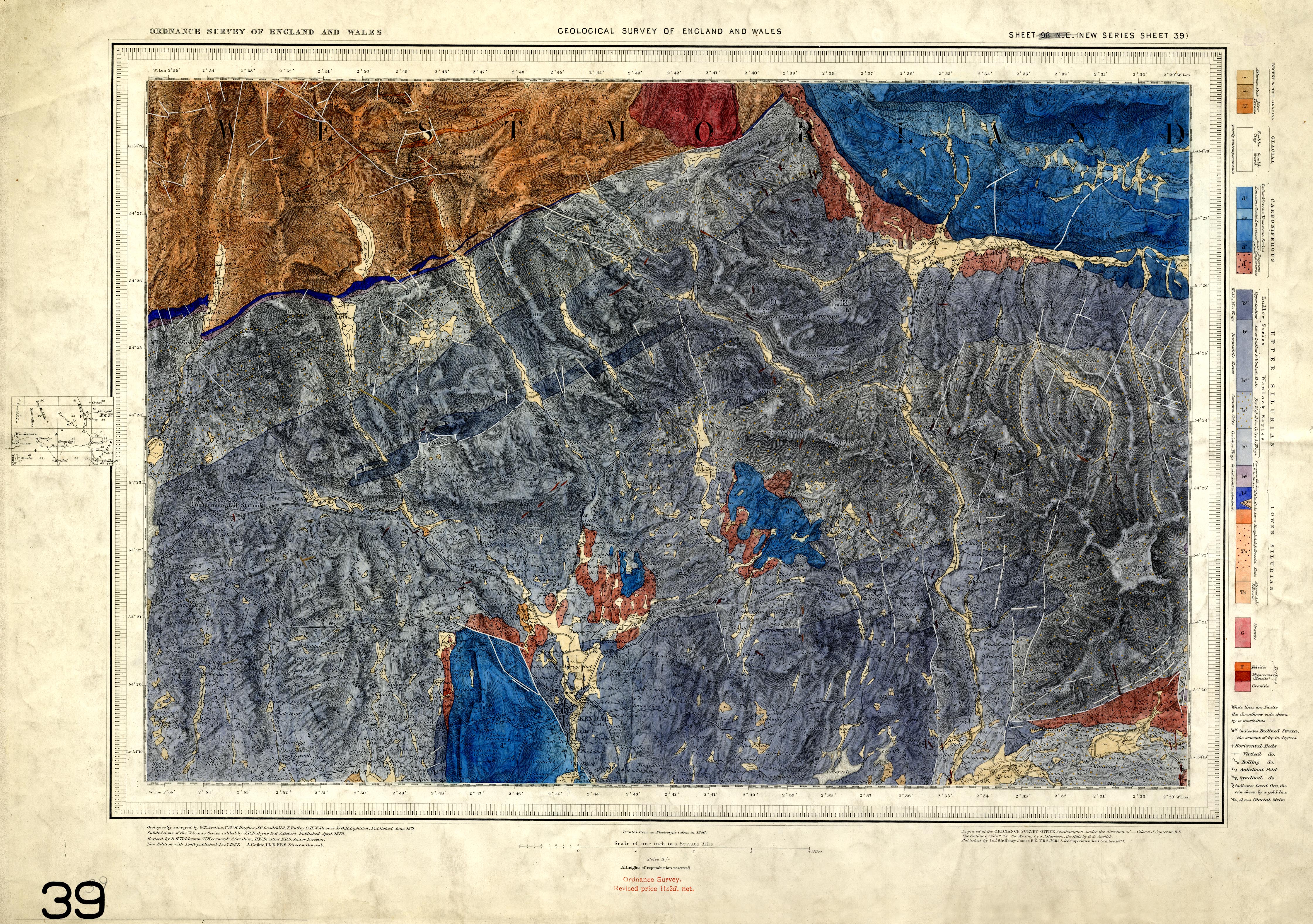
Geological map, sheet 39, Kendal, scale 1 inch to 1 mile, by the
Geological Survey of England and Wales, published by the
Ordnance Survey, Southampton, Hampshire, 1887.
 Lakes Guides menu.