item:-
JandMN : 377
image:-
©
see bottom of page
BG15C.jpg
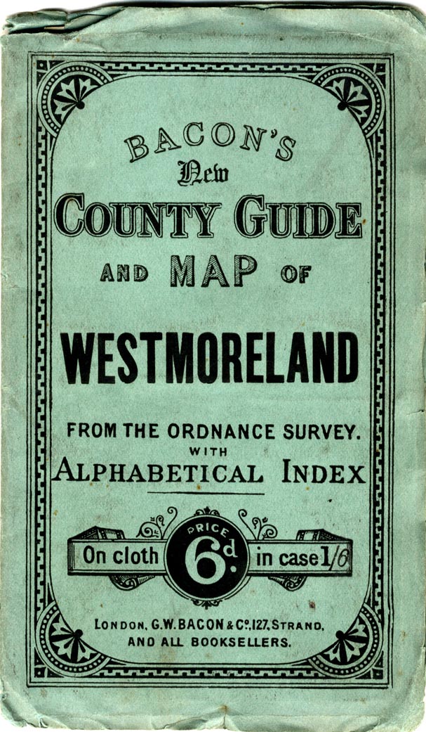
Railway map and political map, colour lithograph, Cumberland and Westmorland, scale about 3.5 miles to 1 inch, by G W Bacon and Co, 127 Strand, London, about 1907.
Lakes Guides menu.
 Lakes Guides menu.