item:- JandMN : 226
image:- © see bottom of page
 BG13.jpg
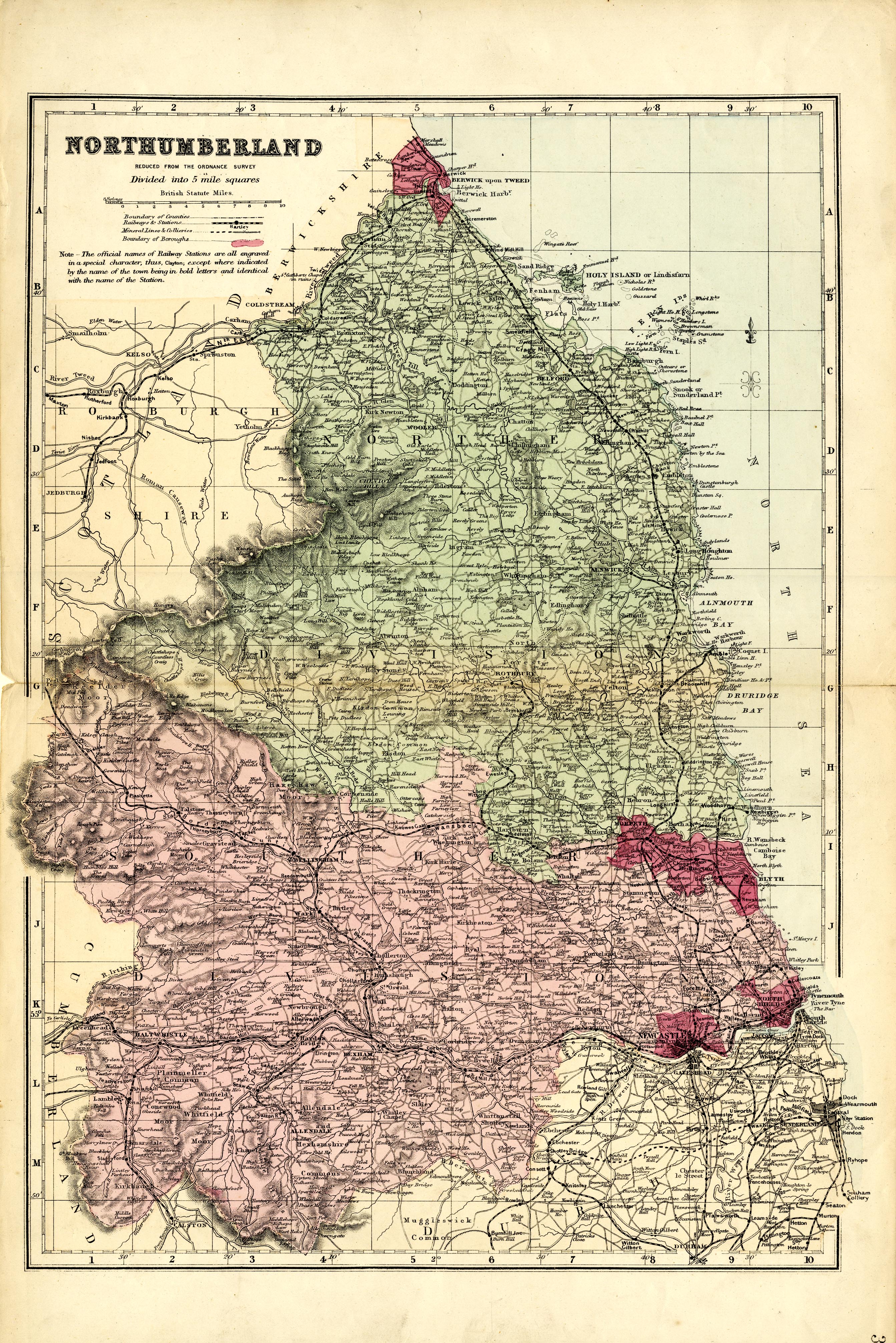
Map, colour lithograph, Northumberland, scale about 4 miles to 1
inch, first drawn by Edward Weller for the Weekly Dispatch
newspaper, 1856-62, published by G W Bacon, Bacon's Geographical
Establishment, London, 1895-97.
 Lakes Guides menu.