item:- Armitt Library : 2008.14.88
image:- © see bottom of page
 BD14.jpg
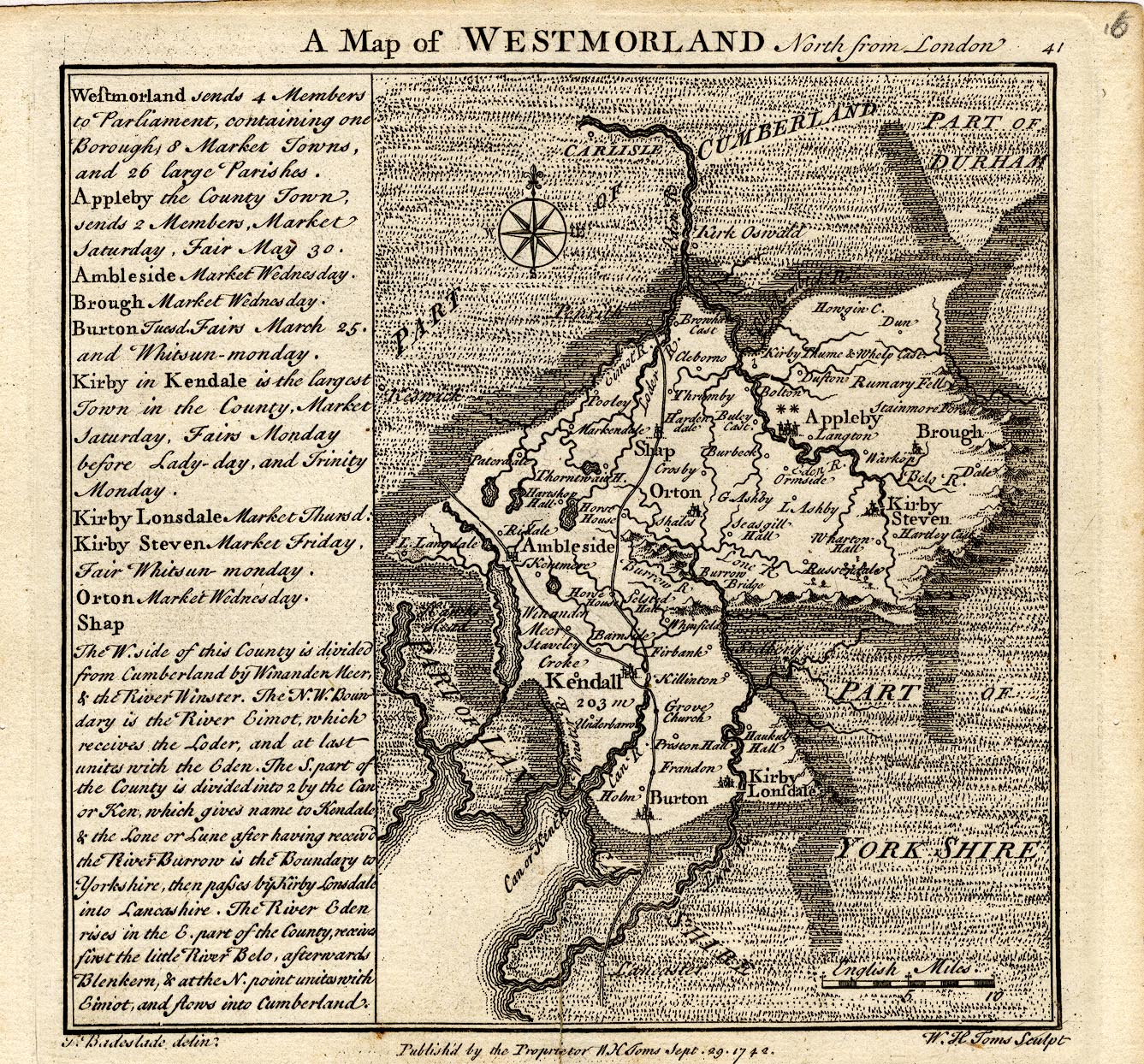
Map, uncoloured engraving, A Map of Westmorland North from
London, scale about 10 miles to 1 inch, with descriptive text,
by Thomas Badeslade, London, engraved and published by William
Henry Toms, Union Court, Holborn, London, 1742.
 Lakes Guides menu.