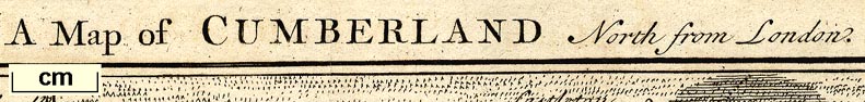
Maps, Westmorland North from London, scale about 10 miles to
1 inch, and Cumberland North from London, scale about 11
miles to 1 inch, with descriptive text, by Thomas Badeslade,
London, engraved and published by William Henry Toms, Union
Court, Holborn, London, 1742; published 1742-49. (Badeslade
1742)
 Lakes Guides menu.