item:-
JandMN : 314
image:-
©
see bottom of page
BC26.jpg
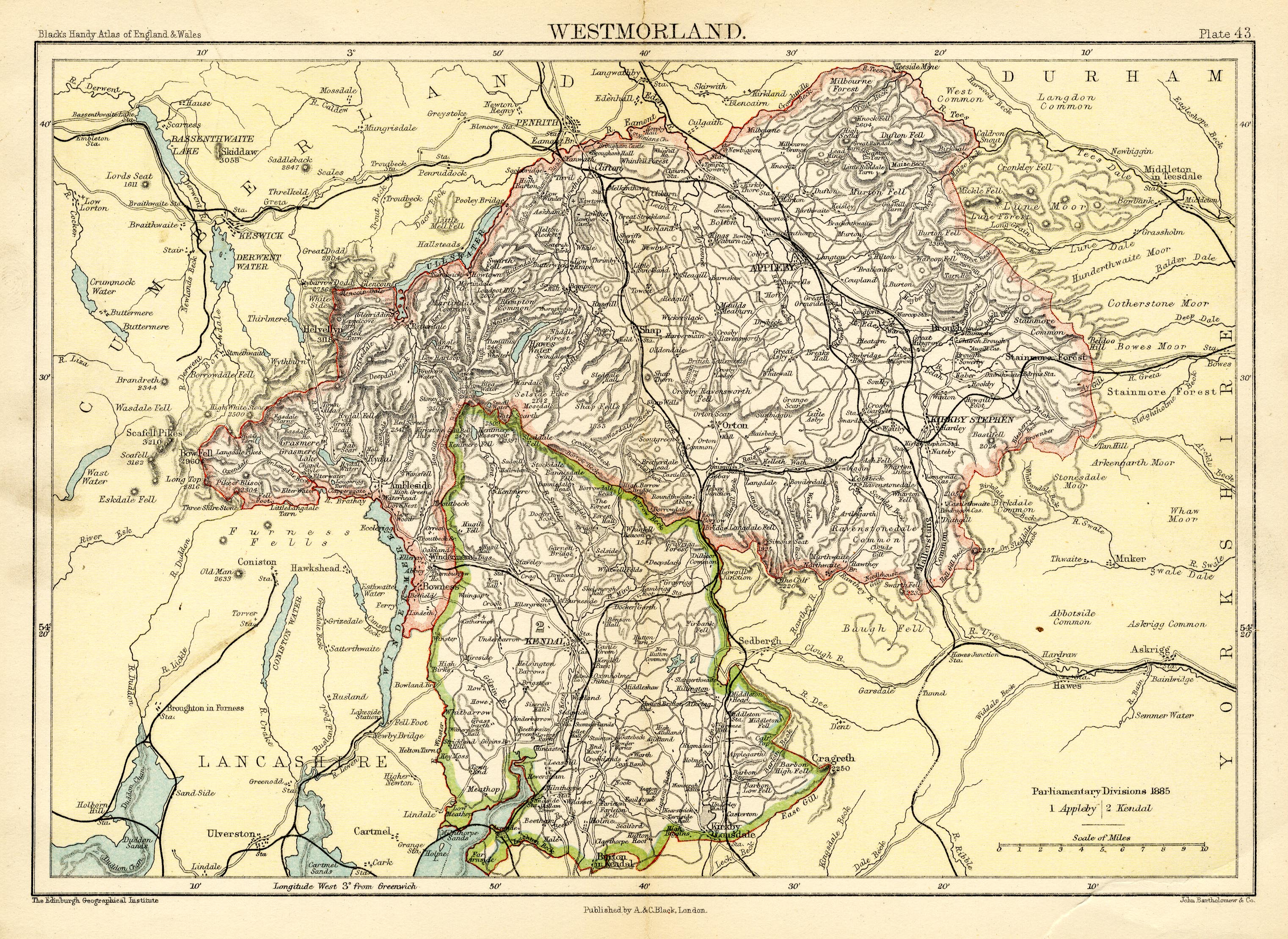
Map, colour printed, Westmorland, scale about 6 miles to 1 inch, by John Bartholomew and Co, Edinburgh Geographical Institute, published by A and C Black, London, 1892.
Lakes Guides menu.
 Lakes Guides menu.