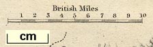
Map, Lancaster and Carlisle Railway and Adjacent Country,
through Lancashire, Westmorland and Cumberland, scale about
7.5 miles to 1 inch, by John Bartholomew, Edinburgh,
published by Adam and Charles Black, 27 North Bridge,
Edinburgh, Lothian, about 1850-52. (Black 1850 map)
 Lakes Guides menu.