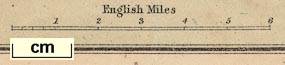
Map of the English Lakes, parts of Lancashire, Cumberland
and Westmorland, now Cumbria, scale about 3.5 miles to 1
inch, published by The Graphotyping Co, 7 Garrick Street and
Simpkin, Marshall and Co, Stationers' Hall Court, London,
and by J Atkinson, King Street, Ulverston, Cumberland, about
1873. (Barber 1873 map)
 Lakes Guides menu.