item:- JandMN : 69.1
image:- © see bottom of page
 BB02.jpg
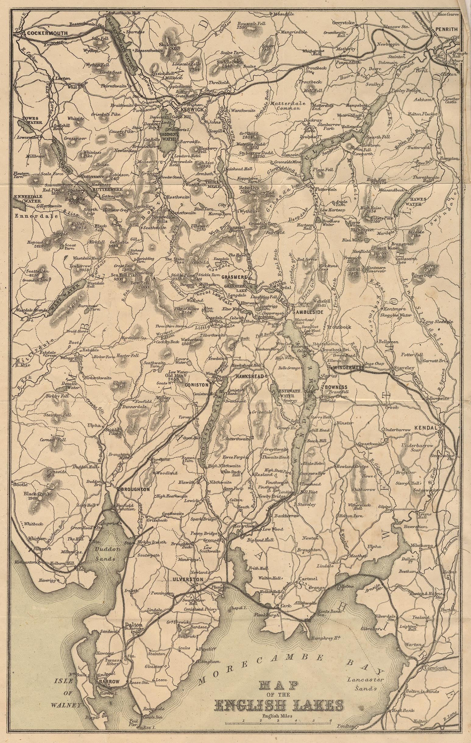
Map of the English Lakes, parts of Lancashire, Cumberland and
Westmorland, scale about 3.5 miles to 1 inch, published by The
Graphotyping Co, 7 Garrick Street and Simpkin, Marshall and Co,
Stationers' Hall Court, London, and by J Atkinson, King Street,
Ulverston, Cumberland, about 1873.
 Lakes Guides menu.