item:- JandMN : 30
image:- © see bottom of page
 Bar4C2.jpg
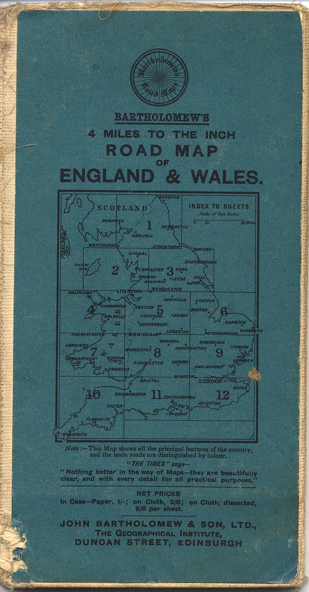
Map, colour printed, Tourist's Map of England and Wales,
northern section including Westmorland, Cumberland etc, scale
about 10.5 miles to 1 inch, published by John Bartholomew and
Son, The Geographical Institute, Duncan Street, Edinburgh,
Lothian, 1920s?
 Lakes Guides menu.