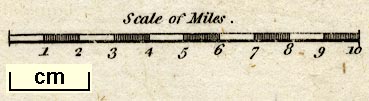
Maps, Westmoreland, scale about 5.5 miles to 1 inch, and Cumberland, scale about 8 miles to 1 inch, engraved by Benjamin Baker, Islington, London, about 1795 and 1791. (Baker 1791-95)
Lakes Guides menu.
 Lakes Guides menu.