item:- Armitt Library : 1959.191.1
image:- © see bottom of page
 BAD9.jpg
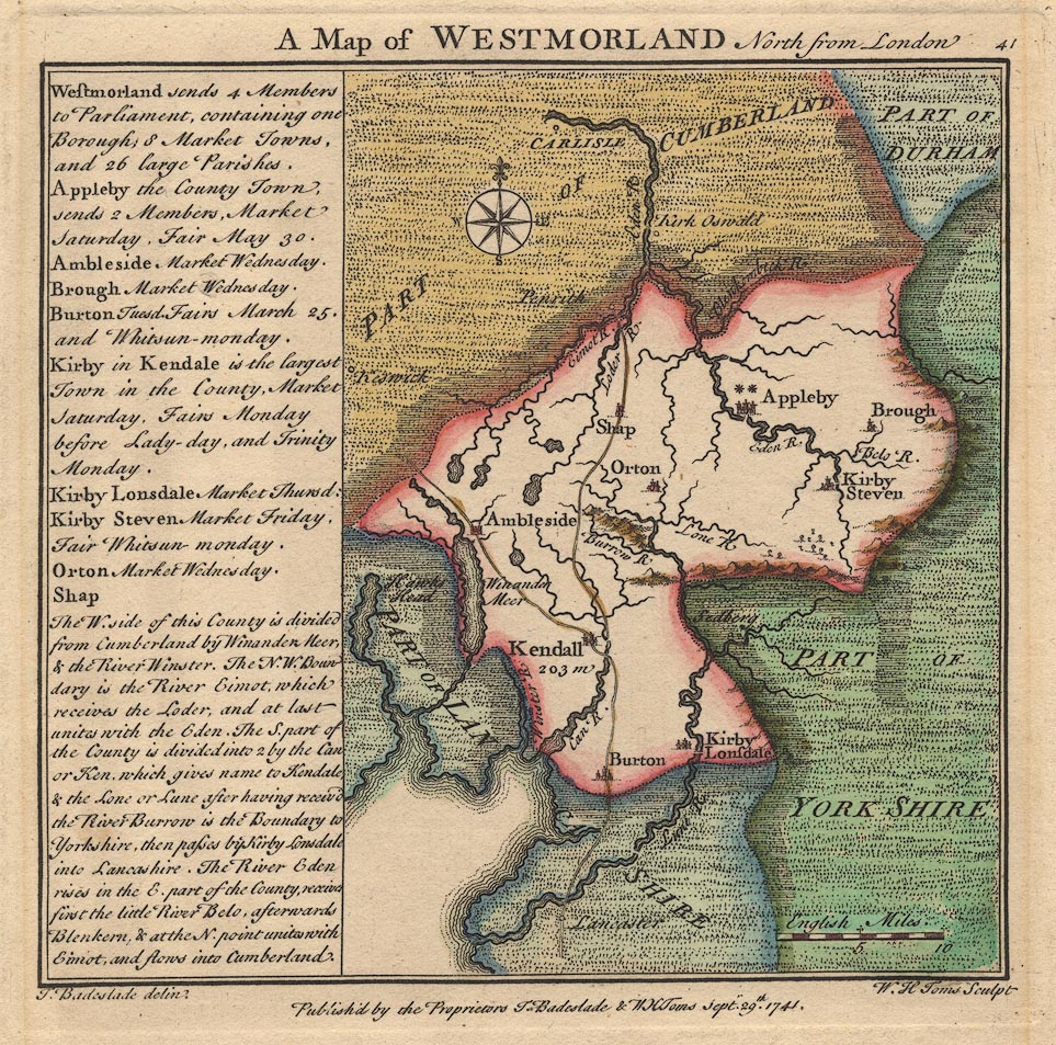
Map, hand coloured engraving, A Map of Westmorland North from
London, scale about 10 miles to 1 inch, with descriptive text,
by Thomas Badeslade, London, engraved and published by William
Henry Toms, Union Court, Holborn, London, 1741.
 Lakes Guides menu.