item:-
JandMN : 71
image:-
©
see bottom of page
BAC5.jpg
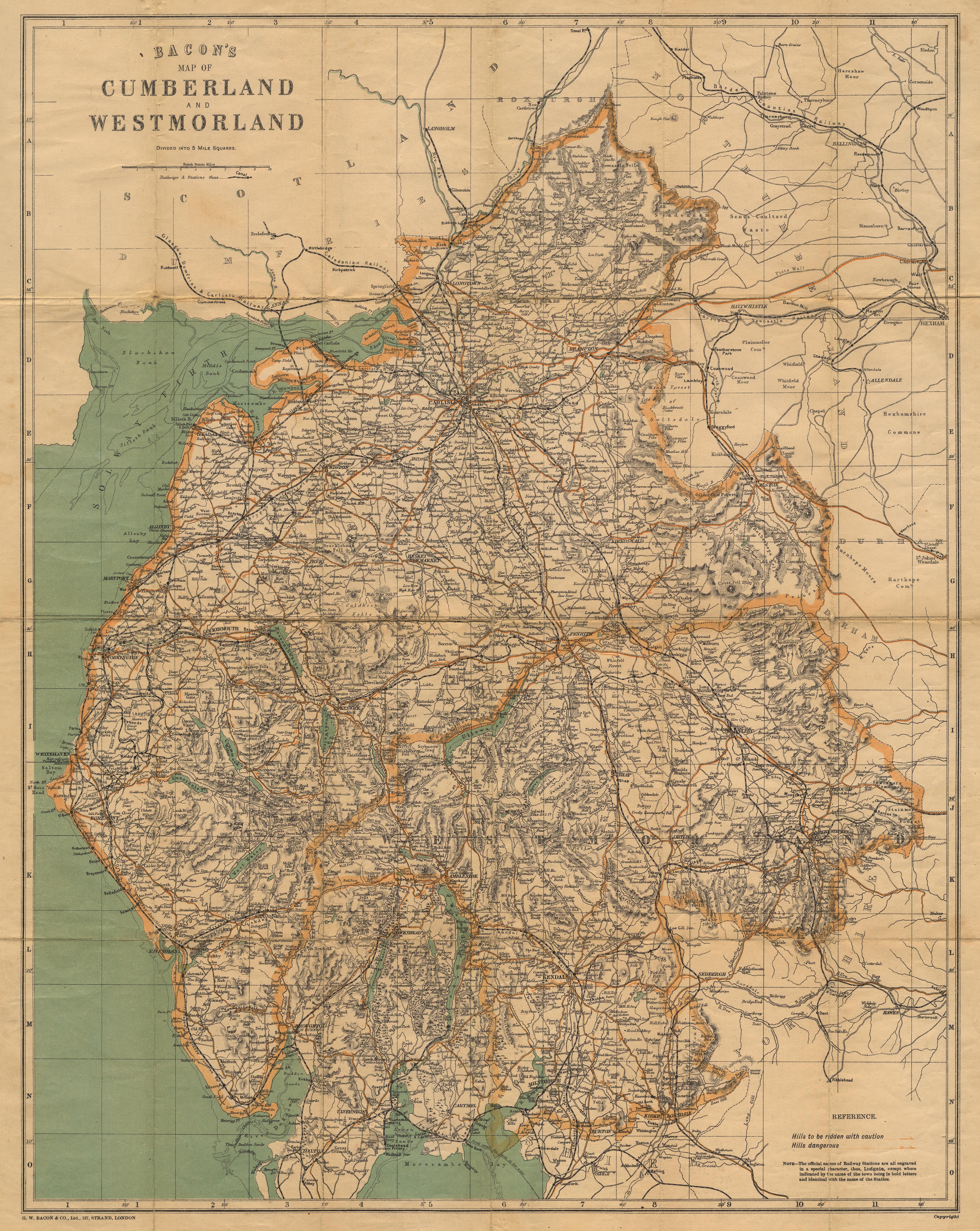
Map, colour lithograph, Bacon's Map of Cumberland and Westmorland, scale about 3.5 miles to 1 inch, by George W Bacon and Co, 127 Strand, London, 1896-1902.
Lakes Guides menu.
 Lakes Guides menu.