item:-
Armitt Library : 2008.14.117
image:-
©
see bottom of page
B271_6.jpg
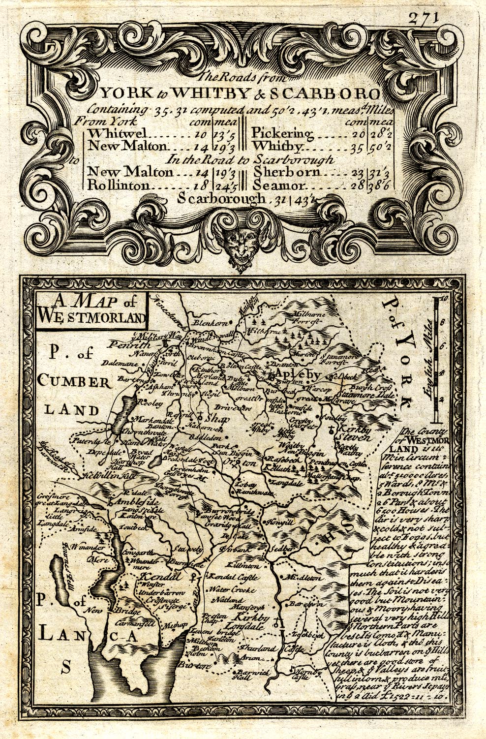
Map, uncoloured engraving, A Map of Westmorland, scale about 8 miles to 1 inch, published by Emanuel Bowen, St Katherines, London, 1720, perhaps an edn 1731?
Lakes Guides menu.
 Lakes Guides menu.