item:-
JandMN : 10
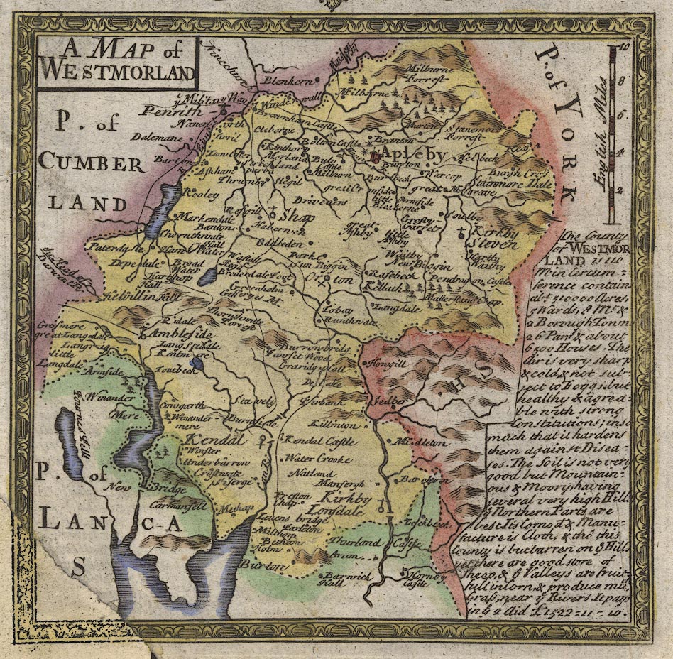
image:-
©
see bottom of page
B271_3.jpg
Map, hand coloured engaving, pl.271, A Map of Westmorland, scale about 8 miles to 1 inch, published by Emanuel Bowen, St Katherines, London, 1720.
Lakes Guides menu.
 Lakes Guides menu.