Road book, Britannia Depicta Or Ogilby Improv'd, including
road strip maps with sections in Westmorland and Cumberland,
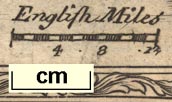
scale about 2 miles to 1 inch, derived from maps by Ogilby,
1675, also a county map of Westmorland, scale about 8 miles
to 1 inch, and of Cumberland, scale about 16.5 miles to 1
inch, each with text, by John Owen, published by Emanuel
Bowen, London, 1720; published 1720-64. (Bowen 1720)
 Lakes Guides menu.