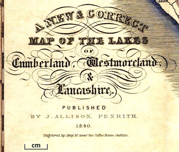
A New and Correct Map of the Lakes of Cumberland, Westmoreland, and Lancashire, scale about 4 miles to 1 inch, engraved by J Roy, Carlisle, published by J Allison, Penrith, Cumberland, 1839. (Allison 1834 map)
Lakes Guides menu.
 Lakes Guides menu.