item:- Armitt Library : A1100.1
image:- © see bottom of page
 AL02.jpg
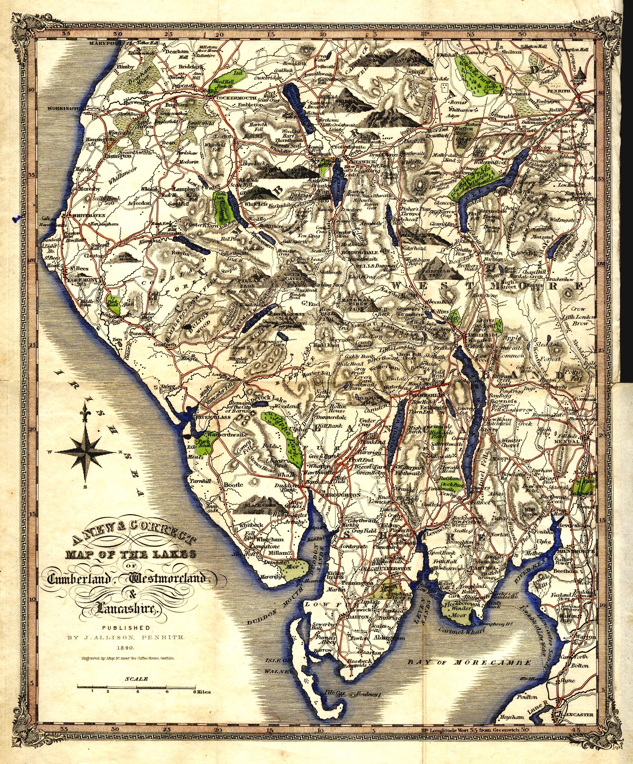
Map, hand coloured engraving, A New and Correct Map of the Lakes
of Cumberland, Westmoreland, and Lancashire, scale about 4 miles
to 1 inch, engraved by J Roy, Carlisle, published by J Allison,
Penrith, Cumberland, 1839.
 Lakes Guides menu.