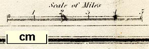
Map of the Lake District, scale about 4 miles to 1 inch, by Thomas Hill, perhaps engraved by W H LIzars, published by Thomas Atkinson, Kendal, Westmorland, 1847-53. (Atkinson 1847 map)
Lakes Guides menu.
 Lakes Guides menu.