item:- Armitt Library : A1144.2
image:- © see bottom of page
 AK03.jpg
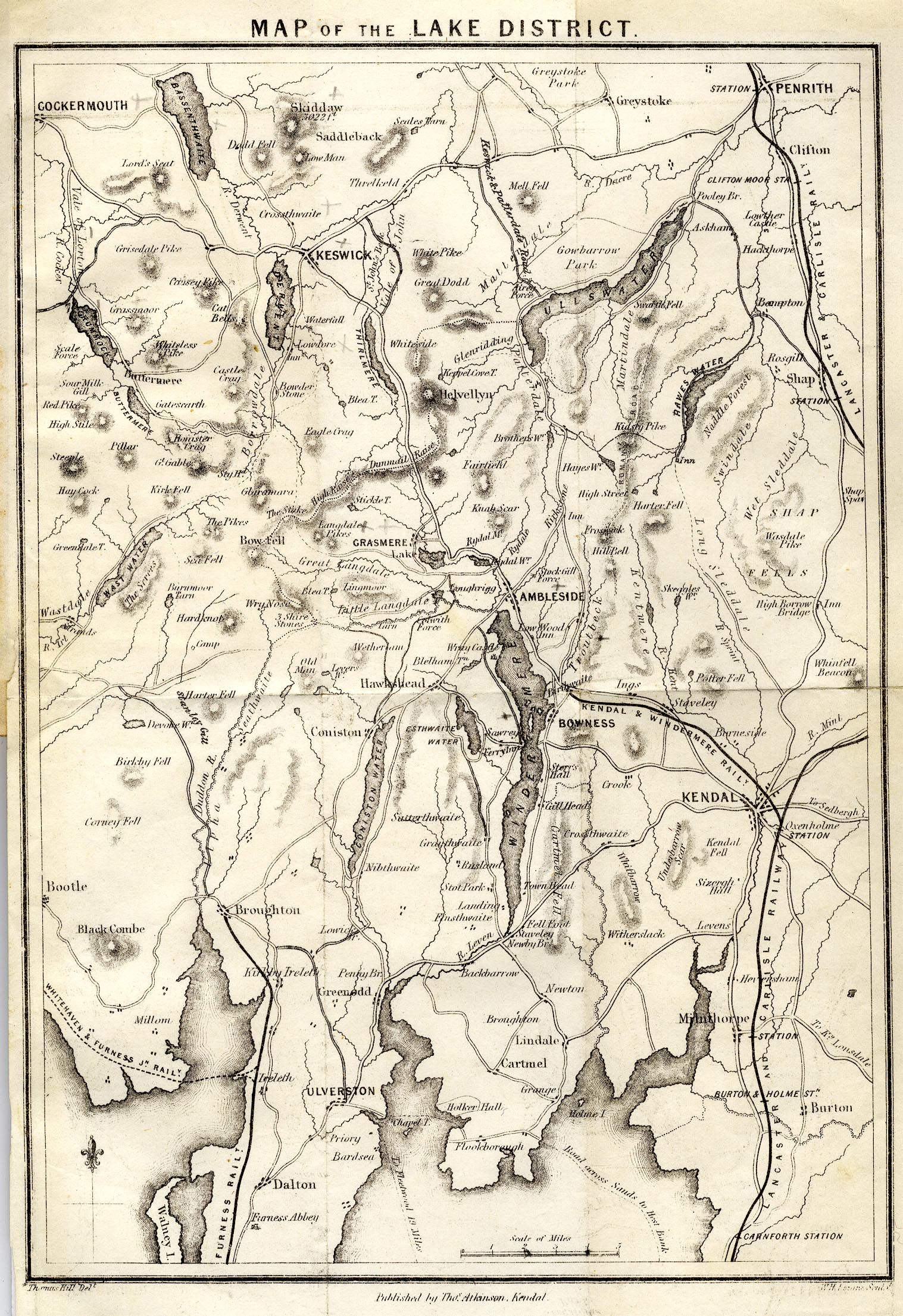
Map, uncoloured engraving, Map of the Lake District, scale about
4 miles to 1 inch, by Thomas Hill, perhaps ebngraved by W H
LIzars, published by Thomas Atkinson, Kendal, Westmorland, 1850.
 Lakes Guides menu.