item:- Carlisle Library : Map 93
image:- © Carlisle Library
 HY01P3.jpg
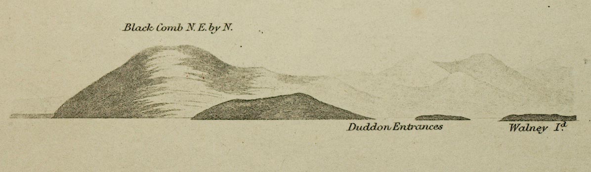
Chart, uncoloured engraving, England West Coast sheet XI,
Fleetwood to the Firth of Solway, scale about 2.5 miles to 1
inch, by H Denham and G Williams, 1846, engraved by J and C
Walker, published by the Hydrographic Office, 1850 corrected to
1863
 Lakes Guides menu.