item:- Armitt Library : A745.133
image:- © see bottom of page
 HMW132.jpg
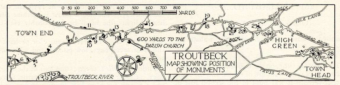
Town plan, uncoloured lithograph, Troutbeck Map Showing Position of Monuments, Troutbeck,
Lakes, Westmorland, scale about 1 to 15000, about 4 inches to 1 mile, published by
Royal Commission on Historical Monuments England, London, 1936.
 Lakes Guides menu.