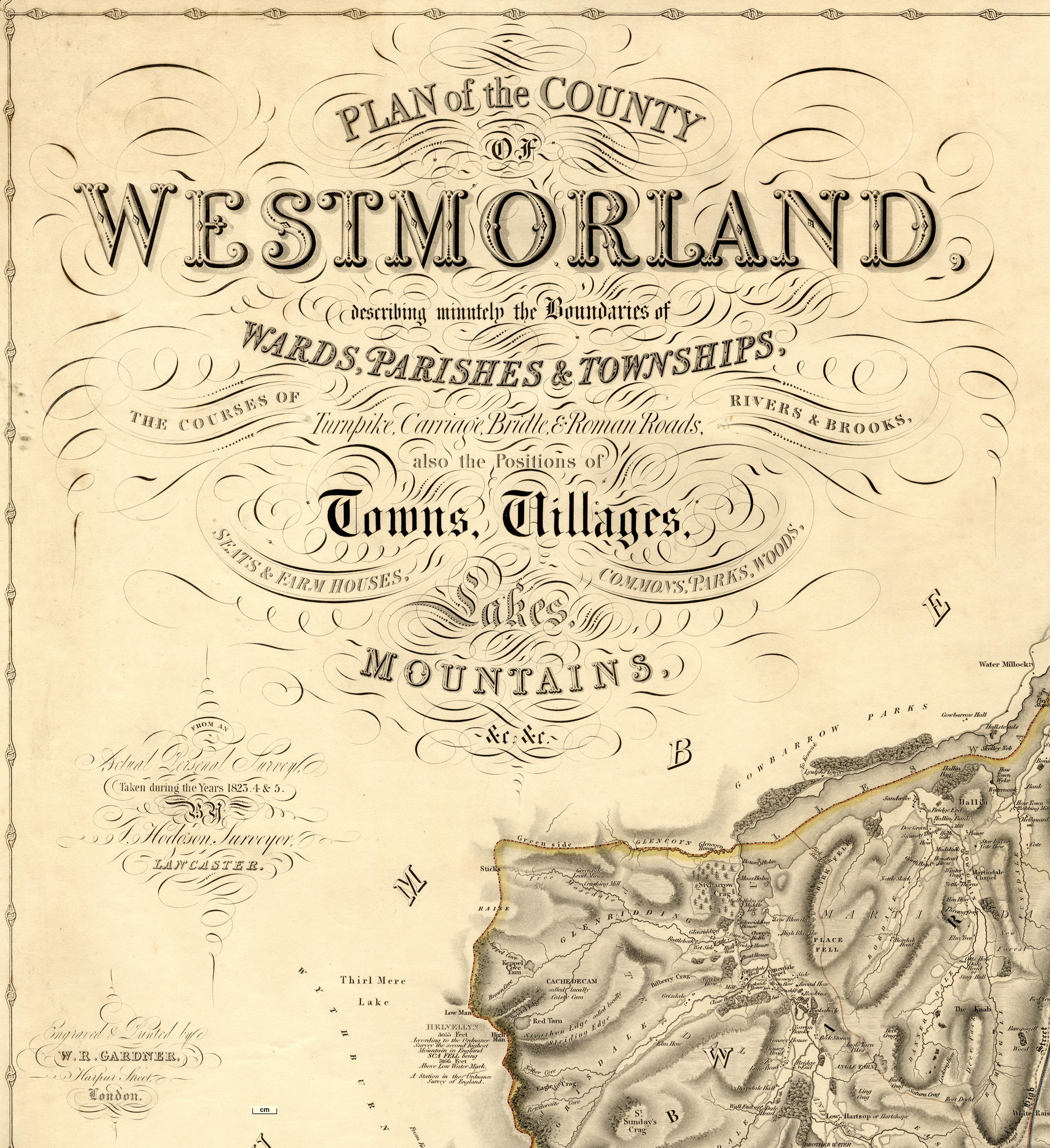
PLAN of the COUNTY OF WESTMORLAND, describing
minutely the Boundaries of WARDS, PARISHES, & TOWNSHIPS,
THE COURSES OF Turnpike, Carriage, Bridle, & Roman Roads,
RIVERS & BROOKS, also the Positions of Towns, Villages,
SEATS & FARM HOUSES, COMMONS, PARKS, WOODS, Lakes,
MOUNTAINS, &c. &c. FROM AN Actual Personal Survey,
Taken during the Years 1823, 4 & 5. BY T. Hodgson,
Surveyor, LANCASTER. Engraved & Printed by W. R.
GARDNER, Harpur Street, London.(Hodgson 1828)
 Lakes Guides menu.