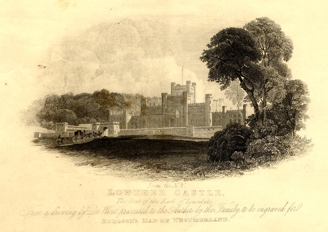
item:- private collection : 371
image:- © see bottom of page
 HDG6Vgn1.jpg
Map, hand coloured engraving, 4 sheets mounted together on linen and rolled, Plan
of the County of Westmorland, scale about 1.25 inches to 1 mile, by Thomas Hodgson,
engraved by W R Gardner, Harpur Street, London, published by Thomas Hodgson, Lancaster,
and perhaps by C Smith, 172 Strand, London,1828.
 Lakes Guides menu.


 Lakes Guides menu.