 Old Cumbria Gazetteer
 |
 |
|
| Mitchell Wyke, Windermere lake | ||
| Mitchell Wyke | ||
| Ferry Bay | ||
| locality:- | Windermere lake | |
| civil parish:- | Windermere (formerly Westmorland) | |
| county:- | Cumbria | |
| locality type:- | bay | |
| coordinates:- | SD38949565 (etc) | |
| 1Km square:- | SD3895 | |
| 10Km square:- | SD39 | |
| SummaryText:- | It is not clear whether Mitchell Wyke and Ferry Bay are or are not the same. | |
|
|
||
| evidence:- | old map:- OS County Series (Wmd 32 15) placename:- Mitchell Wyke |
|
| source data:- | Maps, County Series maps of Great Britain, scales 6 and 25
inches to 1 mile, published by the Ordnance Survey, Southampton,
Hampshire, from about 1863 to 1948. OS County Series (Lan 5 7) |
|
|
|
||
| evidence:- | old photograph:- Bell 1880s-1940s |
|
| source data:- | Photograph, sepia, landing stage in Mitchell Wyke, Windermere lake, Claife, Lancashire,
by Herbert Bell, Ambleside, Westmorland, 1890s?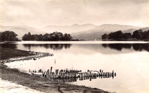 click to enlarge click to enlargeHB0275.jpg item:- Armitt Library : ALPS631 Image © see bottom of page |
|
|
|
||
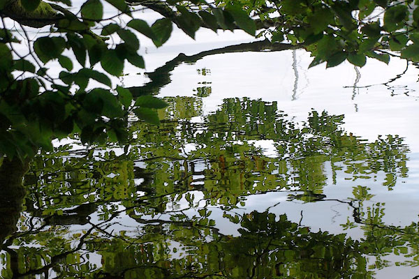 BZH31.jpg Trees. (taken 20.9.2013) |
||
|
|
||
 Lakes Guides menu.