 Old Cumbria Gazetteer
 |
 |
|
| Lune Head, Ravenstonedale | ||
| suggested | ||
| Lune Head | ||
| site name:- | Dale Gill | |
| locality:- | Ravenstonedale Common | |
| civil parish:- | Ravenstonedale (formerly Westmorland) | |
| county:- | Cumbria | |
| locality type:- | spring | |
| coordinates:- | NY70160124 (etc) | |
| 1Km square:- | NY7001 | |
| 10Km square:- | NY70 | |
| SummaryText:- | Various becks begin in this area, Swarth Gill, Dale Gill, etc, which drain into the Lune to the north. These springs are the start of Dale Gill. | |
| references:- | Jefferys 1770 |
|
|
|
||
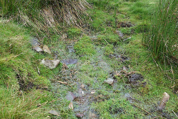 BZA30.jpg (taken 6.8.2013) 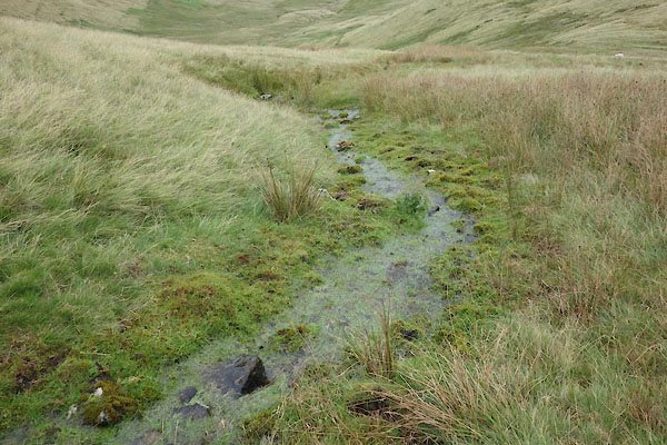 BZA31.jpg (taken 6.8.2013) |
||
|
|
||
| evidence:- | old map:- Jefferys 1770 (Wmd) placename:- Lune Head |
|
| source data:- | Map, 4 sheets, The County of Westmoreland, scale 1 inch to 1
mile, surveyed 1768, and engraved and published by Thomas
Jefferys, London, 1770.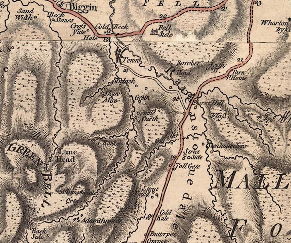 J5NY70SW.jpg "Lune Head" single or double wiggly line; river, head item:- National Library of Scotland : EME.s.47 Image © National Library of Scotland |
|
|
|
||
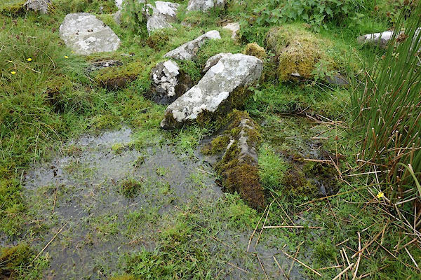 BZA29.jpg (taken 6.8.2013) |
||
|
|
||
 Lakes Guides menu.