 Old Cumbria Gazetteer
 |
 |
|
| Crook Bridge, Lyneholmeford | ||
| Crook Bridge | ||
| site name:- | White Lyne | |
| locality:- | Lyneholmeford | |
| civil parish:- | Stapleton (formerly Cumberland) | |
| county:- | Cumbria | |
| locality type:- | bridge | |
| coordinates:- | NY51667252 | |
| 1Km square:- | NY5172 | |
| 10Km square:- | NY57 | |
|
|
||
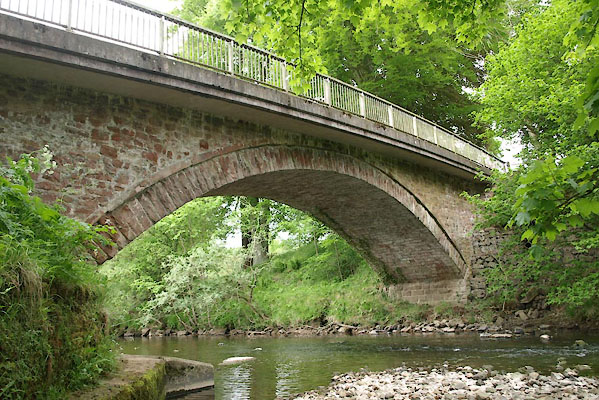 BWQ03.jpg (taken 1.6.2012) |
||
|
|
||
| evidence:- | old map:- Donald 1774 (Cmd) |
|
| source data:- | Map, hand coloured engraving, 3x2 sheets, The County of Cumberland, scale about 1
inch to 1 mile, by Thomas Donald, engraved and published by Joseph Hodskinson, 29
Arundel Street, Strand, London, 1774.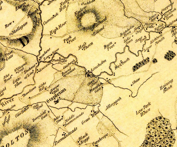 D4NY57SW.jpg double line across a river; a bridge at Lineholm item:- Carlisle Library : Map 2 Image © Carlisle Library |
|
|
|
||
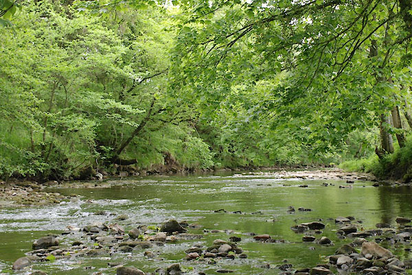 BWQ04.jpg View of river. (taken 1.6.2012) |
||
|
|
||
 Lakes Guides menu.