 Old Cumbria Gazetteer
 |
 |
|
| waterfall, Fisherplace Gill | ||
| site name:- | Fisherplace Gill | |
| civil parish:- | St John's Castlerigg and Wythburn (formerly Cumberland) | |
| county:- | Cumbria | |
| locality type:- | waterfall | |
| coordinates:- | NY321183 (etc) | |
| 1Km square:- | NY3218 | |
| 10Km square:- | NY31 | |
|
|
||
| evidence:- | old text:- Clarke 1787 |
|
| source data:- | Guide book, A Survey of the Lakes of Cumberland, Westmorland,
and Lancashire, written and published by James Clarke, Penrith,
Cumberland, and in London etc, 1787; published 1787-93. goto source goto sourcePage 117:- "... above Brotto, (see plate IX.) is a curious channel in a rock, through which the water flows down a very steep descent; this channel is five or six yards deep, and not more than half a yard wide; the sides are smooth as if cut and polished by art, but whether it has been so, or formed by the continual friction of the water, or is merely a chasm in the rock, I cannot determine." |
|
|
|
||
| evidence:- | old map:- Otley 1818 |
|
| source data:- | Map, uncoloured engraving, The District of the Lakes,
Cumberland, Westmorland, and Lancashire, scale about 4 miles to
1 inch, by Jonathan Otley, 1818, engraved by J and G Menzies,
Edinburgh, Scotland, published by Jonathan Otley, Keswick,
Cumberland, et al, 1833.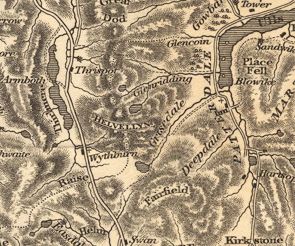 OT02NY31.jpg Marked by three chevrons across the stream. item:- JandMN : 48.1 Image © see bottom of page |
|
|
|
||
Lakes Guides menu.