 Old Cumbria Gazetteer
 |
 |
|
| Thorns Hall, Sedbergh | ||
| Thorns Hall | ||
| Street:- | Long Lane | |
| locality:- | Sedbergh | |
| civil parish:- | Sedbergh (formerly Yorkshire) | |
| county:- | Cumbria | |
| locality type:- | buildings | |
| coordinates:- | SD66369215 | |
| 1Km square:- | SD6692 | |
| 10Km square:- | SD69 | |
| references:- | Listed Buildings 2010 |
|
|
|
||
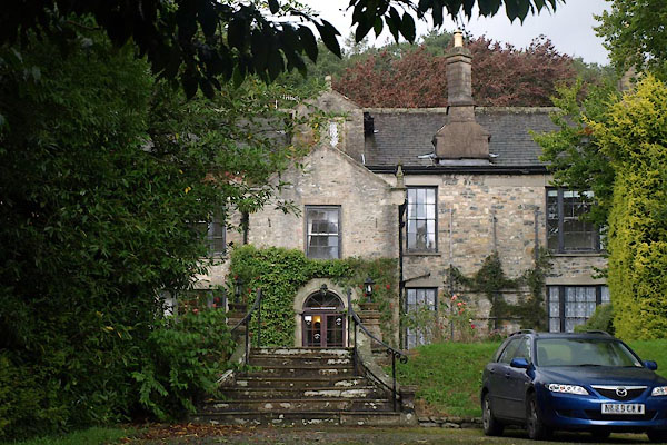 BVI28.jpg (taken 10.9.2011) |
||
|
|
||
| evidence:- | old map:- OS County Series (Yrk 63 4) placename:- Thorns Hall |
|
| source data:- | Maps, County Series maps of Great Britain, scales 6 and 25
inches to 1 mile, published by the Ordnance Survey, Southampton,
Hampshire, from about 1863 to 1948. |
|
|
|
||
| evidence:- | old map:- Jefferys 1770 (Wmd) placename:- Mount Thorns |
|
| source data:- | Map, 4 sheets, The County of Westmoreland, scale 1 inch to 1
mile, surveyed 1768, and engraved and published by Thomas
Jefferys, London, 1770.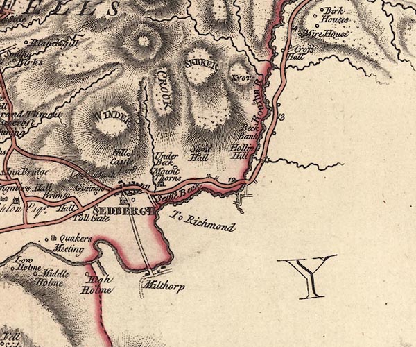 J5SD69SE.jpg "Mount Thorns" house item:- National Library of Scotland : EME.s.47 Image © National Library of Scotland |
|
|
|
||
| evidence:- | old map:- Cary 1789 (edn 1805) placename:- Mount Thorns |
|
| source data:- | Map, uncoloured engraving, Westmoreland, scale about 2.5 miles
to 1 inch, by John Cary, London, 1789; edition 1805.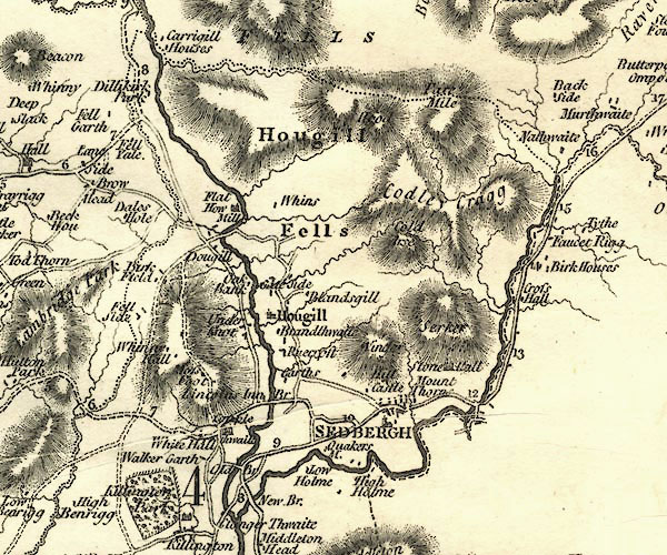 CY24SD69.jpg "Mount Thorns" block/s, labelled in italic lowercase; house, or hamlet item:- JandMN : 129 Image © see bottom of page |
|
|
|
||
| evidence:- | old print:- Thompson 1894 placename:- Thorns Hall |
|
| source data:- | Print, engraving, Thorns, Sedbergh, Yorkshire, published by Richard Jackson, Commercial
Street, Leeds, Yorkshire, 1894.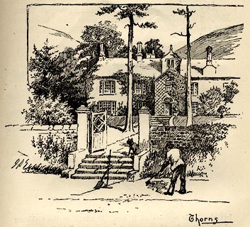 click to enlarge click to enlargeTHP122.jpg On p.91 of An Illustrated Guide to Sedbergh, Garsdale, and Dent, by W Thompson. item:- Armitt Library : A1612.B22 Image © see bottom of page |
|
|
|
||
| evidence:- | database:- Listed Buildings 2010 placename:- Thorns Hall |
|
| source data:- | courtesy of English Heritage "THORNS HALL AND ATTACHED STABLE WING TO REAR / / LONG LANE / SEDBERGH / SOUTH LAKELAND / CUMBRIA / II[star] / 484608 / SD6636892158" |
|
|
|
||
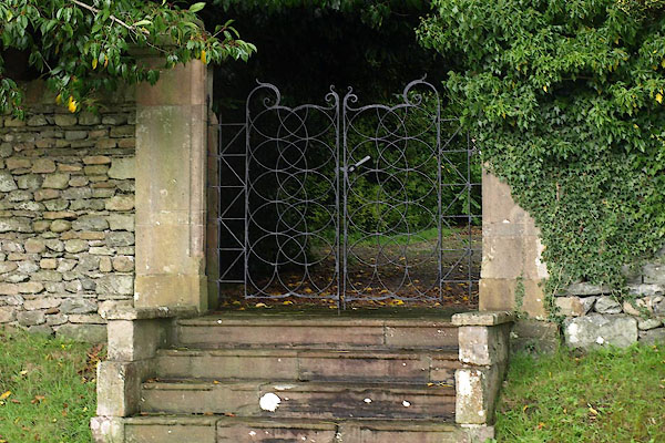 BVI29.jpg Gate. (taken 10.9.2011) |
||
|
|
||
 Lakes Guides menu.