 Old Cumbria Gazetteer
 |
 |
|
| Crooks Beck South Bridge, Ravenstonedale | ||
| Crooks Beck South Bridge | ||
| site name:- | Scandal Beck | |
| site name:- | Egdale Lane | |
| civil parish:- | Ravenstonedale (formerly Westmorland) | |
| county:- | Cumbria | |
| locality type:- | bridge | |
| coordinates:- | NY74200275 | |
| 1Km square:- | NY7402 | |
| 10Km square:- | NY70 | |
|
|
||
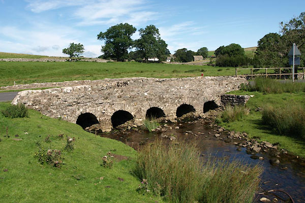 BTI61.jpg (taken 16.8.2010) |
||
|
|
||
| evidence:- | probably old map:- Jefferys 1770 (Wmd) |
|
| source data:- | Map, 4 sheets, The County of Westmoreland, scale 1 inch to 1
mile, surveyed 1768, and engraved and published by Thomas
Jefferys, London, 1770.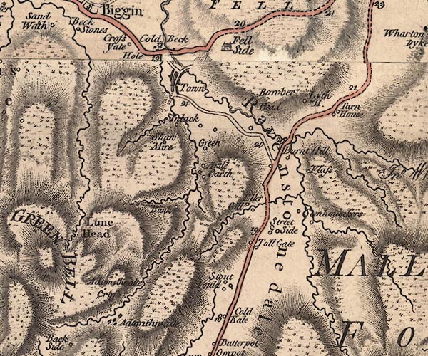 J5NY70SW.jpg double line, road, across a stream; bridge item:- National Library of Scotland : EME.s.47 Image © National Library of Scotland |
|
|
|
||
| evidence:- | old map:- Cary 1789 (edn 1805) |
|
| source data:- | Map, uncoloured engraving, Westmoreland, scale about 2.5 miles
to 1 inch, by John Cary, London, 1789; edition 1805.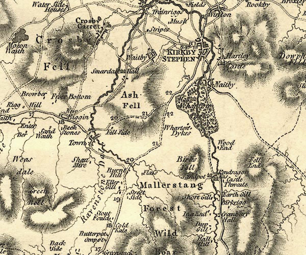 CY24NY70.jpg road across a stream; bridge over the Scandal Beck item:- JandMN : 129 Image © see bottom of page |
|
|
|
||
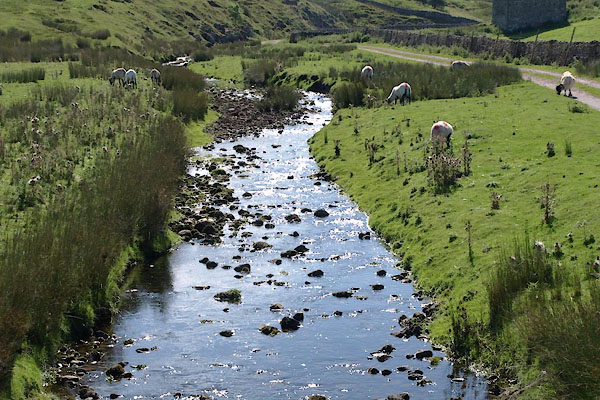 BTI63.jpg View of river. (taken 16.8.2010) 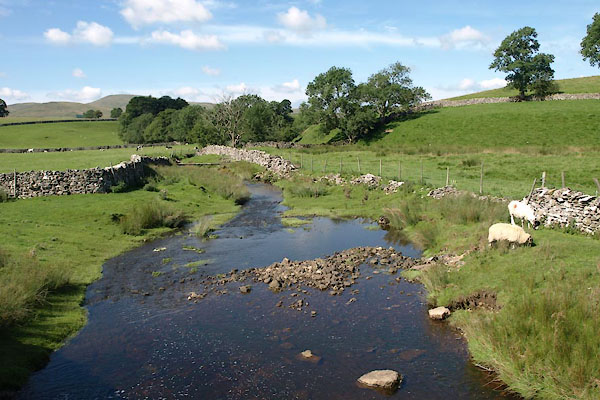 BTI62.jpg View of river. (taken 16.8.2010) |
||
|
|
||
 Lakes Guides menu.