 Old Cumbria Gazetteer
 |
 |
|
| Stock Bridge Farm, Staveley | ||
| Stock Bridge Farm | ||
| locality:- | Staveley | |
| civil parish:- | Over Staveley (formerly Westmorland) | |
| civil parish:- | Nether Staveley (formerly Westmorland) | |
| county:- | Cumbria | |
| locality type:- | buildings | |
| coordinates:- | SD47339776 | |
| 1Km square:- | SD4797 | |
| 10Km square:- | SD49 | |
|
|
||
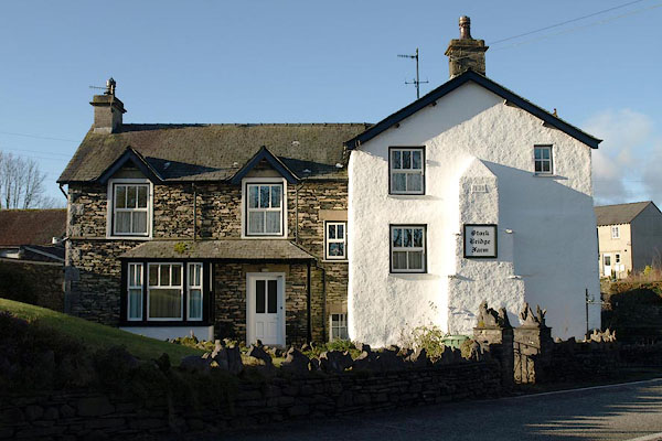 BSA14.jpg (taken 29.1.2010) 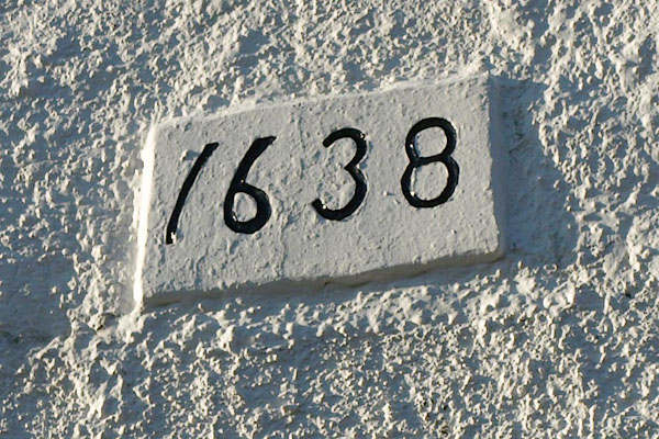 BSA15.jpg Stock Bridge Farm, date:- "1638" (taken 29.1.2010) |
||
|
|
||
| evidence:- | old map:- OS County Series (Wmd 33 10) placename:- Stockbridge |
|
| source data:- | Maps, County Series maps of Great Britain, scales 6 and 25
inches to 1 mile, published by the Ordnance Survey, Southampton,
Hampshire, from about 1863 to 1948. "Stockbridge" |
|
|
|
||
| evidence:- | old map:- Jefferys 1770 (Wmd) placename:- Stoke Bridge |
|
| source data:- | Map, 4 sheets, The County of Westmoreland, scale 1 inch to 1
mile, surveyed 1768, and engraved and published by Thomas
Jefferys, London, 1770.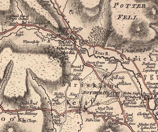 J5SD49NE.jpg "Stoke Bridge" circle, labelled in italic lowercase text; settlement, farm, house, or hamlet? item:- National Library of Scotland : EME.s.47 Image © National Library of Scotland |
|
|
|
||
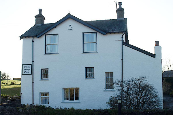 BSA16.jpg (taken 29.1.2010) 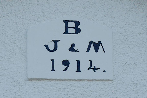 BSA17.jpg Later date stone:- "B/ J &M / 1914." (taken 29.1.2010) 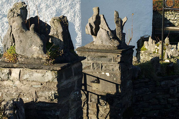 BSA18.jpg Gate posts:- "1638" (taken 29.1.2010) |
||
|
|
||
 Lakes Guides menu.