 Old Cumbria Gazetteer
 |
 |
|
| Silverband Mine, Milburn | ||
| Silverband Mine | ||
| locality:- | Silver Band | |
| locality:- | Great Dun Fell | |
| locality:- | Milburn Forest | |
| civil parish:- | Milburn (formerly Westmorland) | |
| county:- | Cumbria | |
| locality type:- | lead mine | |
| locality type:- | mine | |
| coordinates:- | NY70303194 (etc) | |
| 1Km square:- | NY7031 | |
| 10Km square:- | NY73 | |
|
|
||
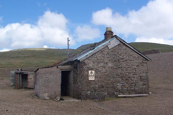 BSX21.jpg Buildings, (taken 2.6.2010) 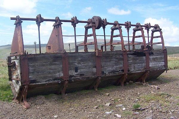 BSX22.jpg ?tubbing mill. (taken 2.6.2010) |
||
|
|
||
| evidence:- | old map:- OS County Series (Wmd 5 4) placename:- Silverband Mine |
|
| source data:- | Maps, County Series maps of Great Britain, scales 6 and 25
inches to 1 mile, published by the Ordnance Survey, Southampton,
Hampshire, from about 1863 to 1948. "Silverband Mine (Lead) / Crushing Mill / Level / Level" nearby is:- "Old Silver Hush / Dam" and running from the mine to the Knock Ore Gill is another:- "Hush" |
|
|
|
||
| evidence:- | old map:- Postlethwaite 1877 (3rd edn 1913) placename:- Silver Band Mine |
|
| source data:- | Map, uncoloured engraving, Map of the Lake District Mining Field, Westmorland, Cumberland,
Lancashire, scale about 5 miles to 1 inch, by John Postlethwaite, published by W H
Moss and Sons, 13 Lowther Street, Whitehaven, Cumberland, 1877 edn 1913.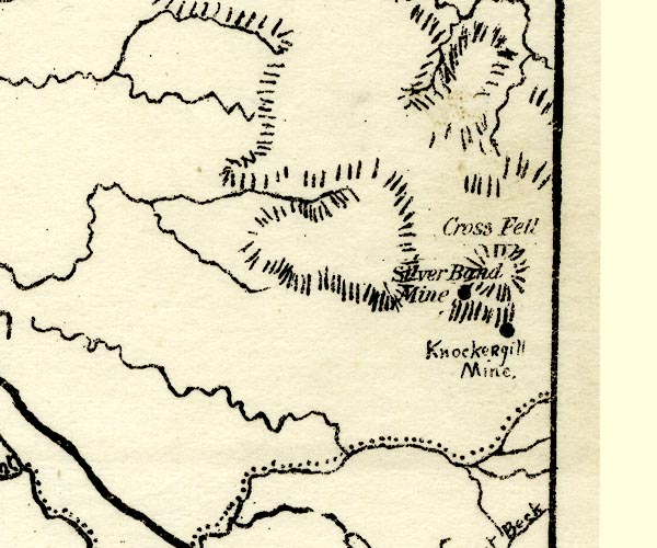 PST2NY63.jpg "Silver Band Mine" mine symbol item:- JandMN : 162.2 Image © see bottom of page |
|
|
|
||
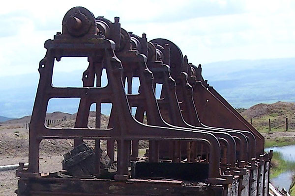 BSX23.jpg ?tubbing mill. (taken 2.6.2010) 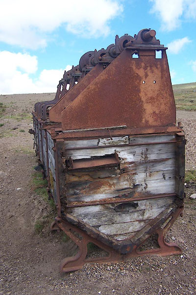 BSX24.jpg ?tubbing mill. (taken 2.6.2010) 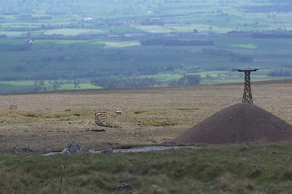 BSX25.jpg Remains of aerial ropeway (taken 2.6.2010) 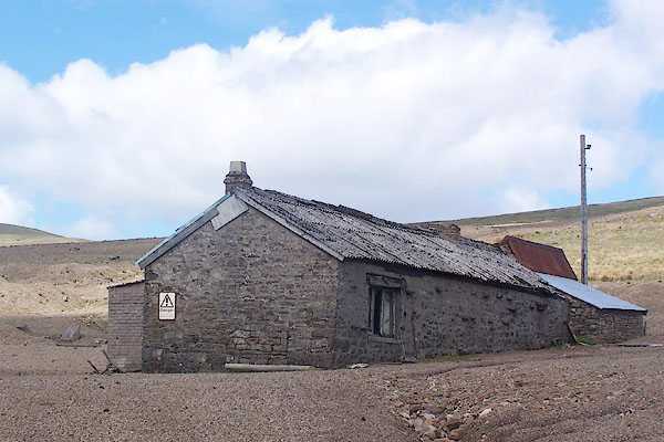 BSX20.jpg Buildings, (taken 2.6.2010) 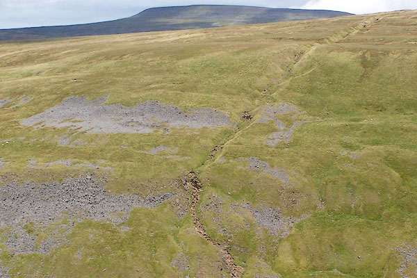 BRF40.jpg Hush below the Silverband Mine. (taken 3.8.2009) |
||
|
|
||
 Lakes Guides menu.