 Old Cumbria Gazetteer
 |
 |
|
| milestone, Skelsmergh (5) | ||
| site name:- | road, Kendal to Shap | |
| civil parish:- | Skelsmergh (formerly Westmorland) | |
| county:- | Cumbria | |
| locality type:- | milestone | |
| coordinates:- | SD52999685 | |
| 1Km square:- | SD5296 | |
| 10Km square:- | SD59 | |
|
|
||
| evidence:- | old map:- OS County Series (Wmd 34 9) |
|
| source data:- | Maps, County Series maps of Great Britain, scales 6 and 25
inches to 1 mile, published by the Ordnance Survey, Southampton,
Hampshire, from about 1863 to 1948. "M.S. Kendal .. 3 Shap .. 13" |
|
|
|
||
| evidence:- | old map:- Jefferys 1770 (Wmd) |
|
| source data:- | Map, 4 sheets, The County of Westmoreland, scale 1 inch to 1
mile, surveyed 1768, and engraved and published by Thomas
Jefferys, London, 1770.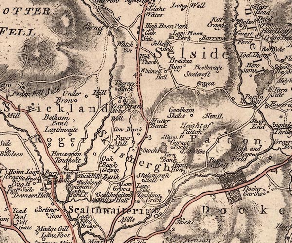 J5SD59NW.jpg "3" milestone marked by road item:- National Library of Scotland : EME.s.47 Image © National Library of Scotland |
|
|
|
||
| evidence:- | database:- Listed Buildings 2010 |
|
| source data:- | courtesy of English Heritage "MILEPOST APPROXIMATELY 100 METRES TO NORTH OF STOCKS MILL / / A6 / SKELSMERGH / SOUTH LAKELAND / CUMBRIA / II / 75747 / SD5298196862" |
|
| source data:- | courtesy of English Heritage "Milepost. Dated 1825. Cast iron. Half-hexagonal with fluted faces and domed cap. Panel to left side reads: "SHAP/13/MILES"; panel to right side reads: "KENDAL/5/MILES"; date to centre. One of a series of similar mileposts on Heron Syke to Eamont Bridge turnpike road, 1756." |
|
|
|
||
| :- |
Shap 13 Kendal 3 |
|
|
|
||
 Lakes Guides menu.