

Click to enlarge
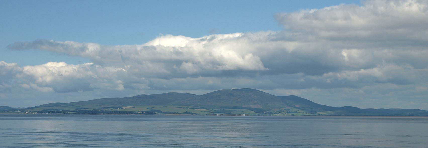
BRA87.jpg From Silloth.
(taken 10.7.2009)
placename:- Scurfell
item:- viewpoint
 goto source
page 165:- "... Scurfell from the skie,
That Anadale doth crowne, ..."
placename:- Criffel
 click to enlarge
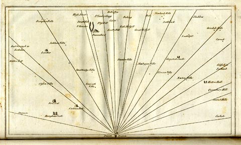
CL18.jpg
"Criffel in Scotland"
item:- Armitt Library : A6615.12
Image © see bottom of page
placename:- Criffel
"CRIFFEL, 1841. This station is on top and close to the south-west edge of 'Douglas Cairn,' which is on the highest part of the well-known mountain named Criffel, 10 miles south of Dumfries, and 3 miles south of the village of New Abbey. It is marked by a hole in the solid rock, in the centre of a square formed by four pickets on which rested the instrument. A wall runs over the top of the mountain in a north-east and south-west direction, forming an angle near the station, which is 80 feet due east from the nearest point of the wall."
Altitude above mean sea level:- "1866.6 feet"
Position, latitude and longitude, degrees minutes decimal seconds "54 56 26.38 / 3 37 37.16"
 click to enlarge
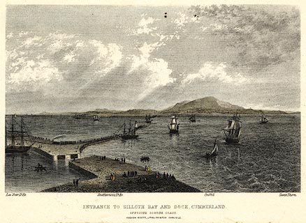
PR0369.jpg
There is shipping in the offing and at the dock, a train leaving the quay; some scottish coastal features are labelled - Lee Scar lighthouse, Southerness lighthouse, Criffel and Carse Thorn.
printed at bottom:- "ENTRANCE TO SILLOTH BAY AND DOCK, CUMBERLAND. / OPPOSITE THE SCOTCH COAST / HUDSON SCOTT, LITHO PRINTER CARLISLE."
item:- Dove Cottage : 2008.107.369
Image © see bottom of page
 click to enlarge
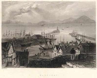
PR0075.jpg
Probably from Findens Views of the Ports, Harbours, Coast Scenery, and Watering Places of Great Britain, as continued by W H Bartlett.
printed at bottom left, right, centre:- "W. H. Bartlett. / J. C. Armytage. / MARYPORT."
item:- Dove Cottage : 2008.107.75
Image © see bottom of page
