 Old Cumbria Gazetteer
 |
 |
|
| Wheatsheaf Inn, Embleton | ||
| Wheatsheaf Inn | ||
| civil parish:- | Embleton (formerly Cumberland) | |
| county:- | Cumbria | |
| locality type:- | inn | |
| coordinates:- | NY17303050 | |
| 1Km square:- | NY1730 | |
| 10Km square:- | NY13 | |
|
|
||
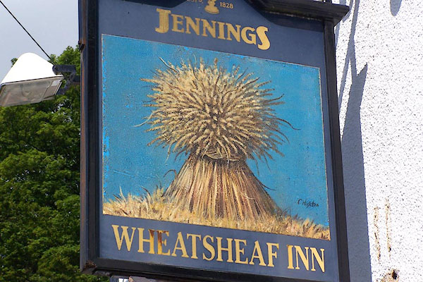 BNR50.jpg Innsign, wheat sheaf, painted by C Highton (taken 25.5.2007) 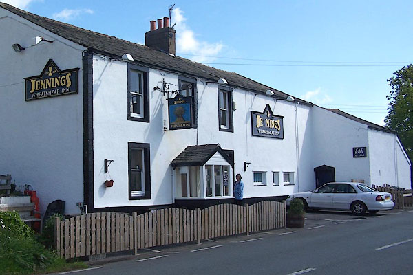 BNR49.jpg (taken 25.5.2007) |
||
|
|
||
| evidence:- | old map:- OS County Series (Cmd 55 2) placename:- Wheat Sheaf |
|
| source data:- | Maps, County Series maps of Great Britain, scales 6 and 25
inches to 1 mile, published by the Ordnance Survey, Southampton,
Hampshire, from about 1863 to 1948. |
|
|
|
||
| evidence:- | old map:- Otley 1818 placename:- Wheat Sheaf |
|
| source data:- | Map, uncoloured engraving, The District of the Lakes,
Cumberland, Westmorland, and Lancashire, scale about 4 miles to
1 inch, by Jonathan Otley, 1818, engraved by J and G Menzies,
Edinburgh, Scotland, published by Jonathan Otley, Keswick,
Cumberland, et al, 1833.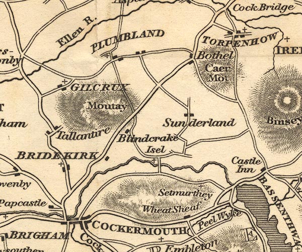 OT02NY13.jpg item:- JandMN : 48.1 Image © see bottom of page |
|
|
|
||
 Lakes Guides menu.