 Old Cumbria Gazetteer
 |
 |
|
| Hind Side, Borrowdale | ||
| Hind Side | ||
| site name:- | Glaramara | |
| civil parish:- | Borrowdale (formerly Cumberland) | |
| county:- | Cumbria | |
| locality type:- | hill | |
| coordinates:- | NY24051016 (etc) | |
| 1Km square:- | NY2410 | |
| 10Km square:- | NY21 | |
|
|
||
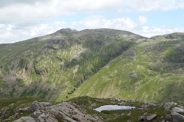 CAZ10.jpg On the face of Glaramara, left of the gill. (taken 23.6.2014) |
||
|
|
||
| evidence:- | old map:- OS County Series (Cmd 75 5) placename:- Hind Side |
|
| source data:- | Maps, County Series maps of Great Britain, scales 6 and 25
inches to 1 mile, published by the Ordnance Survey, Southampton,
Hampshire, from about 1863 to 1948. |
|
|
|
||
| evidence:- | outline view:- Black 1856 (23rd edn 1900) placename:- Hind Side |
|
| source data:- | Print, lithograph, Outline Views, Windermere - Mountains as seen from the North End
of Belle Isle, Windermere, and Mountains as seen from Biscay How, Bowness, by J Flintoft,
Keswick, Cumberland, engraved by R Mason, Edinburgh, Lothian, about 1900.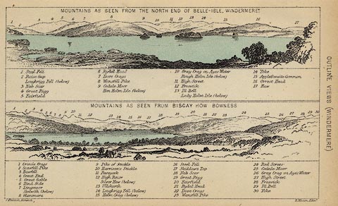 click to enlarge click to enlargeBC08E1.jpg "... 6 Hind Side ..." item:- JandMN : 37.4 Image © see bottom of page |
|
|
|
||
| evidence:- | outline view:- Black 1841 (3rd edn 1846) placename:- Hind Side |
|
| source data:- | Print, engraving, outline view, Mountains as seen from the North End of Belle Isle,
Windermere, and Mountains as seen from Bisket How, Bowness, by J Flintoft, Keswick,
Cumberland, engraved by R Mason, Edinburgh, about 1844.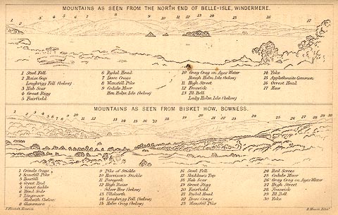 click to enlarge click to enlargeBC02E1.jpg "... 6 Hind Side ..." item:- JandMN : 32.3 Image © see bottom of page |
|
|
|
||
 Lakes Guides menu.