 Old Cumbria Gazetteer
 |
 |
|
| waterfall, Seathwaite Slabs | ||
| site name:- | Sourmilk Gill | |
| site name:- | Seathwaite Slabs | |
| locality:- | Seathwaite | |
| civil parish:- | Borrowdale (formerly Cumberland) | |
| county:- | Cumbria | |
| locality type:- | waterfall | |
| coordinates:- | NY230122 (?) | |
| 1Km square:- | NY2312 | |
| 10Km square:- | NY21 | |
|
|
||
| evidence:- | old map:- Otley 1818 |
|
| source data:- | Map, uncoloured engraving, The District of the Lakes,
Cumberland, Westmorland, and Lancashire, scale about 4 miles to
1 inch, by Jonathan Otley, 1818, engraved by J and G Menzies,
Edinburgh, Scotland, published by Jonathan Otley, Keswick,
Cumberland, et al, 1833.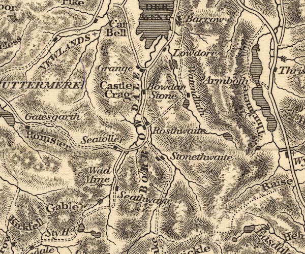 OT02NY21.jpg Marked by three chevrons across the stream. item:- JandMN : 48.1 Image © see bottom of page |
|
|
|
||
 Lakes Guides menu.