 Old Cumbria Gazetteer
 |
 |
|
| High Keer Bridge, Lancashire | ||
| High Keer Bridge | ||
| site name:- | Keer, River | |
| county:- | Lancashire | |
| locality type:- | bridge | |
| coordinates:- | SD522719 | |
| 1Km square:- | SD5271 | |
| 10Km square:- | SD57 | |
|
|
||
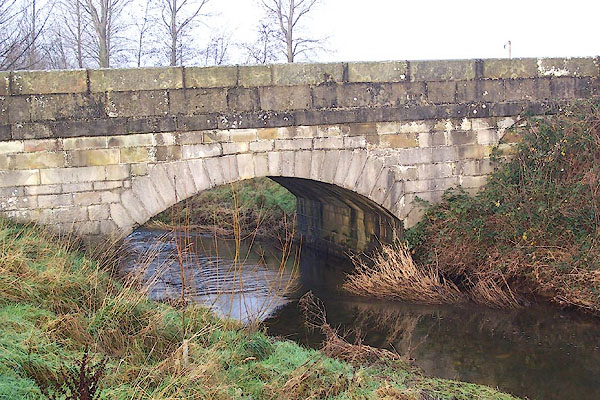 BNC47.jpg (taken 20.12.2006) 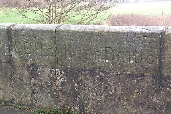 BNC48.jpg Inscribed stone:- "C.C. HIGH KEER BRIDG[E]" (taken 20.12.2006) |
||
|
|
||
| evidence:- | old map:- Ogilby 1675 (plate 38) placename:- Care Bridge |
|
| source data:- | Road strip map, hand coloured engraving, continuation of the
Road from London to Carlisle, scale about 1 inch to 1 mile, by
John Ogilby, London, 1675.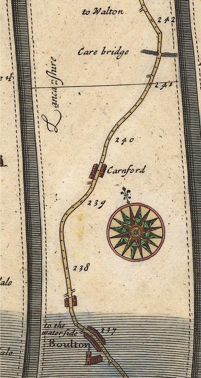 OG38m237.jpg In mile 241, Lancashire. cross "Care bridge" the bridge drawn over the river. item:- JandMN : 21 Image © see bottom of page |
|
|
|
||
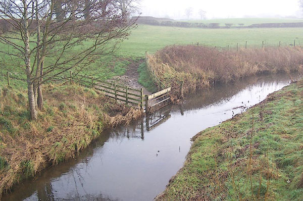 BNC49.jpg View of river. (taken 20.12.2006) |
||
|
|
||
 Lakes Guides menu.