 Old Cumbria Gazetteer
 |
 |
|
| Carlisle: Botchergate | ||
| Botchergate | ||
| locality:- | Botchergate | |
| civil parish:- | Carlisle (formerly Cumberland) | |
| county:- | Cumbria | |
| locality type:- | street | |
| coordinates:- | NY40465547 (etc) | |
| 1Km square:- | NY4055 | |
| 10Km square:- | NY45 | |
|
|
||
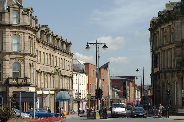 BYT55.jpg North end. (taken 9.7.2013) |
||
|
|
||
| evidence:- | old map:- OS County Series (Cmd 23 8) placename:- Botchergate |
|
| source data:- | Maps, County Series maps of Great Britain, scales 6 and 25
inches to 1 mile, published by the Ordnance Survey, Southampton,
Hampshire, from about 1863 to 1948. |
|
|
|
||
| evidence:- | old map:- Ogilby 1675 (plate 86) placename:- Bother Street |
|
| source data:- | Road strip map, uncoloured engraving, the Road from Tinmouth ...
to Carlisle, scale about 1 inch to 1 mile, by John Ogilby,
London, 1675.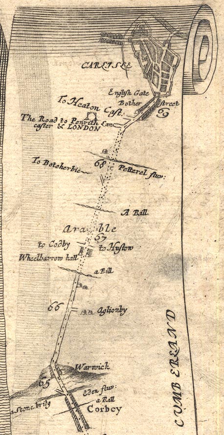 OG86m065.jpg In mile 69, Cumberland. "Bother street" houses each side of the road, outwith the town walls. item:- JandMN : 73 Image © see bottom of page |
|
|
|
||
| evidence:- | probably old map:- Ogilby 1675 (plate 96) |
|
| source data:- | Road strip map, hand coloured engraving, the Road from Kendal to
Cockermouth, and the Road from Egremond to Carlisle, scale about
1 inch to 1 mile, by John Ogilby, London, 1675.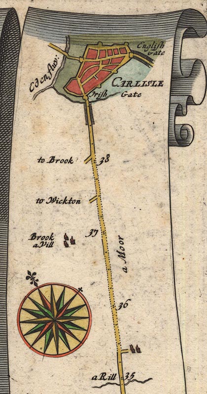 OG96Bm35.jpg In mile 38, Cumberland. Houses each side of the road outside Carlisle town wall at English Gate. item:- JandMN : 22 Image © see bottom of page |
|
|
|
||
| evidence:- | old map:- Donald 1774 (Cmd) placename:- Botcher Gate |
|
| source data:- | Map, hand coloured engraving, 3x2 sheets, The County of Cumberland, scale about 1
inch to 1 mile, by Thomas Donald, engraved and published by Joseph Hodskinson, 29
Arundel Street, Strand, London, 1774.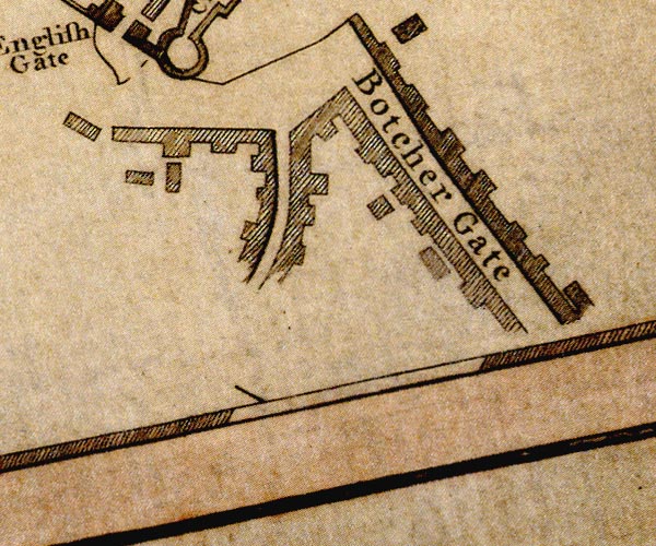 D44055H.jpg "Botcher Gate" street item:- Carlisle Library : Map 2 Image © Carlisle Library |
|
|
|
||
 Lakes Guides menu.