 Old Cumbria Gazetteer
 |
 |
|
| White Scar, Crosthwaite and Lyth | ||
| White Scar | ||
| locality:- | Whitbarrow Scar | |
| civil parish:- | Crosthwaite and Lyth (formerly Westmorland) | |
| county:- | Cumbria | |
| locality type:- | rocks | |
| coordinates:- | SD45998532 (etc) | |
| 1Km square:- | SD4585 | |
| 10Km square:- | SD48 | |
|
|
||
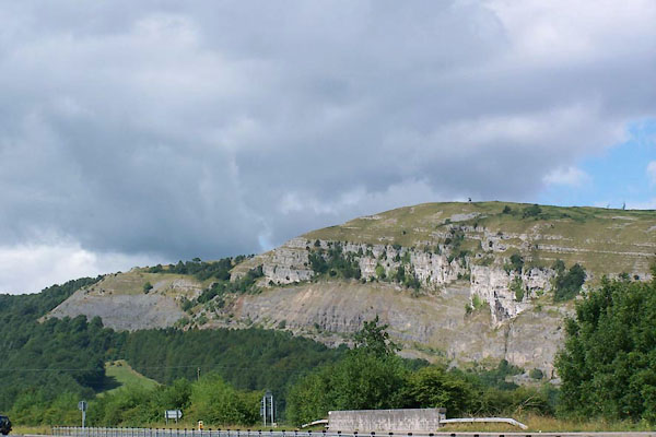 BJR21.jpg From beside the A590, looking NW. (taken 5.8.2005) |
||
|
|
||
| evidence:- | old map:- OS County Series (Wmd 42 6) placename:- White Scar |
|
| source data:- | Maps, County Series maps of Great Britain, scales 6 and 25
inches to 1 mile, published by the Ordnance Survey, Southampton,
Hampshire, from about 1863 to 1948. |
|
|
|
||
| evidence:- | old map:- West 1784 map placename:- Whitbarrow Scar |
|
| source data:- | Map, hand coloured engraving, A Map of the Lakes in Cumberland,
Westmorland and Lancashire, scale about 3.5 miles to 1 inch,
engraved by Paas, 53 Holborn, London, about 1784.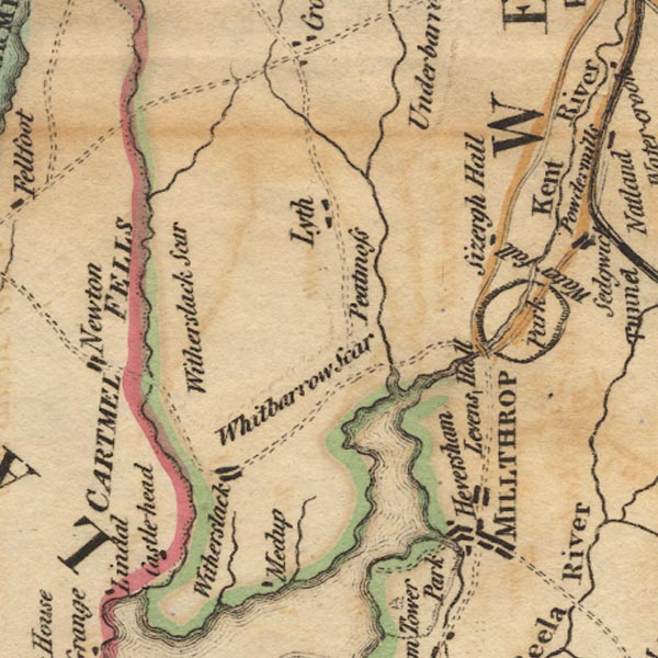 Ws02SD48.jpg The scar labelled is a continuation of Whitbarrow Scar, called White Scar. item:- Armitt Library : A1221.1 Image © see bottom of page |
|
|
|
||
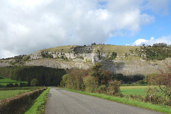 CGQ54.jpg (taken 28.9.2017) 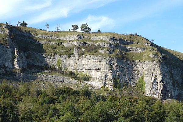 CGQ56.jpg (taken 28.9.2017) |
||
|
|
||
 Lakes Guides menu.