 |
 |
   |
|
|
|
Whinfell Beacon |
| civil parish:- |
Whinfell (formerly Westmorland) |
| county:- |
Cumbria |
| locality type:- |
hill |
| locality type:- |
beacon |
| coordinates:- |
NY57350029 |
| 1Km square:- |
NY5700 |
| 10Km square:- |
NY50 |
| altitude:- |
1545 feet |
| altitude:- |
471m |
|
|
|
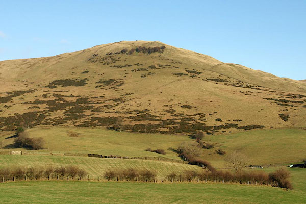
BPW24.jpg (taken 26.12.2008)
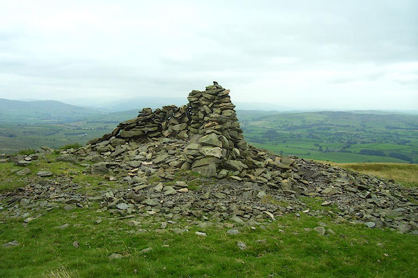
BPN64.jpg Cairn on the top.
(taken 23.7.2008)
|
|
|
| evidence:- |
old map:- OS County Series (Wmd 34 2)
placename:- Whinfell Beacon
|
| source data:- |
Maps, County Series maps of Great Britain, scales 6 and 25
inches to 1 mile, published by the Ordnance Survey, Southampton,
Hampshire, from about 1863 to 1948.
|
|
|
| evidence:- |
old map:- Saxton 1579
placename:- Whinfeld Hill
|
| source data:- |
Map, hand coloured engraving, Westmorlandiae et Cumberlandiae Comitatus ie Westmorland
and Cumberland, scale about 5 miles to 1 inch, by Christopher Saxton, London, engraved
by Augustinus Ryther, 1576, published 1579-1645.
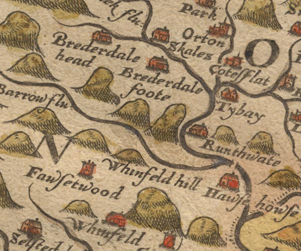
Sax9NY50.jpg
"Whinfeld hill"
Small hillock.
item:- private collection : 2
Image © see bottom of page
|
|
|
| evidence:- |
old map:- Speed 1611 (Wmd)
placename:- Whinfeld Hill
|
| source data:- |
Map, hand coloured engraving, The Countie Westmorland and
Kendale the Cheif Towne, scale about 2.5 miles to 1 inch, by
John Speed, 1610, published by George Humble, Popes Head Alley,
London, 1611-12.
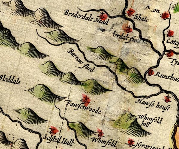
SP14NY50.jpg
"Whinfeld hill"
hillock
item:- Armitt Library : 2008.14.5
Image © see bottom of page
|
|
|
| evidence:- |
old map:- Morden 1695 (Wmd)
placename:- Whinfield Hill
|
| source data:- |
Map, hand coloured engraving, Westmorland, scale about 2.5 miles to 1 inch, by Robert
Morden, published by Abel Swale, the Unicorn, St Paul's Churchyard, Awnsham, and John
Churchill, the Black Swan, Paternoster Row, London, 1695.
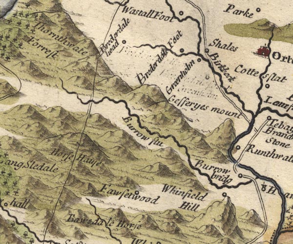
MD10NY50.jpg
"Whinfield Hill"
Circle, on a hillock.
item:- JandMN : 24
Image © see bottom of page
|
|
|
| evidence:- |
old map:- Simpson 1746 map (Wmd)
placename:- Whinfield Hill
|
| source data:- |
Map, uncoloured engraving, Westmorland, scale about 8 miles to 1
inch, printed by R Walker, Fleet Lane, London, 1746.
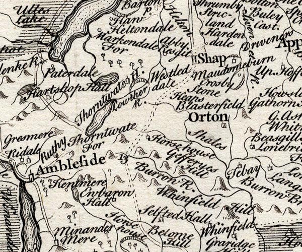
SMP2NYK.jpg
"Whinfield Hill"
Hillock.
item:- Dove Cottage : 2007.38.59
Image © see bottom of page
|
|
|
| evidence:- |
old map:- Jefferys 1770 (Wmd)
|
| source data:- |
Map, 4 sheets, The County of Westmoreland, scale 1 inch to 1
mile, surveyed 1768, and engraved and published by Thomas
Jefferys, London, 1770.
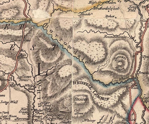
J5NY50SE.jpg
"BEACON"
hill hachuring; hill or mountain
item:- National Library of Scotland : EME.s.47
Image © National Library of Scotland |
|
|
| evidence:- |
descriptive text:- West 1778 (11th edn 1821)
|
| source data:- |
Guide book, A Guide to the Lakes, by Thomas West, published by
William Pennington, Kendal, Cumbria once Westmorland, and in
London, 1778 to 1821.
 goto source goto source
Page 190:- "A TABLE OF THE Height of Mountains and Lakes SEEN IN THIS TOUR, ... TAKEN FROM THE
LEVEL OF THE SEA. ... by Mr. John Dalton."
"Whinfell Beacon, N.E. of Kendal ... 500 [yards]"
|
|
|
| evidence:- |
old text:- Martineau 1855
item:- altitude, Whinfell Beacon
|
| source data:- |
Guide book, A Complete Guide to the English Lakes, by Harriet
Martineau, published by John Garnett, Windermere, Westmorland,
and by Whittaker and Co, London, 1855; published 1855-76.
 goto source goto source
Page 179:- "A TABLE OF THE HEIGHTS OF MOUNTAINS IN THE COUNTIES OF CUMBERLAND, WESTMORLAND, AND
LANCASHIRE."
"No. : Names of Mountains. : Counties. : Height in Feet above the Sea Level."
"24 : Whinfell Beacon, near Kendal : Westmorland : 1500"
|
|
|
| evidence:- |
old map:- Burrow 1920s
|
| source data:- |
Road book, On the Road, Dunlop Pictorial Road Plans, volume V,
strip maps with parts in Westmorland, Cumberland etc, irregular
scale about 1.5 miles to 1 inch, by E J Burrow and Co,
Cheltenham, Gloucestershire, 1920s.
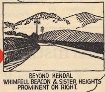
EJB3Vg12.jpg
item:- private collection : 17
Image © see bottom of page
|
|
|
| evidence:- |
outline view:- LMS 1920s
|
| source data:- |
Hill Outline, Whinfell Beacon, published in the LMS Route Book No.3, The Track of
the Royal Scot, by the London, Midland and Scottish Railway, LMS, 1920s.
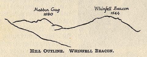 click to enlarge click to enlarge
LS1E33.jpg
"Whinfell Beacon / 1544"
item:- JandMN : 95.6
Image © see bottom of page
|
|
|


 goto source
 goto source
 click to enlarge