 Old Cumbria Gazetteer
 |
 |
|
| Wharton Dikes, Wharton | ||
| Wharton Dikes | ||
| civil parish:- | Wharton (formerly Westmorland) | |
| county:- | Cumbria | |
| locality type:- | buildings | |
| coordinates:- | NY76470557 | |
| 1Km square:- | NY7605 | |
| 10Km square:- | NY70 | |
|
|
||
| evidence:- | old map:- OS County Series (Wmd 30 6) placename:- Wharton Dikes |
|
| source data:- | Maps, County Series maps of Great Britain, scales 6 and 25
inches to 1 mile, published by the Ordnance Survey, Southampton,
Hampshire, from about 1863 to 1948. |
|
|
|
||
| evidence:- | hearth tax returns:- Hearth Tax 1675 placename:- Wharton Dikes |
|
| source data:- | Records, hearth tax survey returns, Westmorland, 1674/75. "Wharton Dikes" |
|
|
|
||
| evidence:- | old map:- Bowen and Kitchin 1760 placename:- Wharton Dyke |
|
| source data:- | Map, hand coloured engraving, A New Map of the Counties of
Cumberland and Westmoreland Divided into their Respective Wards,
scale about 4 miles to 1 inch, by Emanuel Bowen and Thomas
Kitchin et al, published by T Bowles, Robert Sayer, and John
Bowles, London, 1760.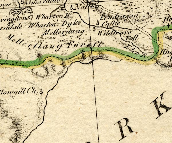 BO18NY70.jpg "Wharton Dyke" no symbol item:- Armitt Library : 2008.14.10 Image © see bottom of page |
|
|
|
||
| evidence:- | old map:- Jefferys 1770 (Wmd) placename:- Wharton Dykes |
|
| source data:- | Map, 4 sheets, The County of Westmoreland, scale 1 inch to 1
mile, surveyed 1768, and engraved and published by Thomas
Jefferys, London, 1770.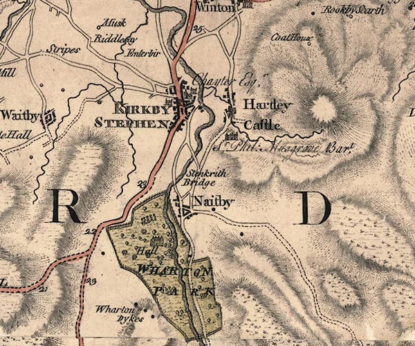 J5NY70NE.jpg "Wharton Dykes" circle, labelled in italic lowercase text; settlement, farm, house, or hamlet? item:- National Library of Scotland : EME.s.47 Image © National Library of Scotland |
|
|
|
||
| evidence:- | old map:- Cary 1789 (edn 1805) placename:- Wharton Dykes |
|
| source data:- | Map, uncoloured engraving, Westmoreland, scale about 2.5 miles
to 1 inch, by John Cary, London, 1789; edition 1805.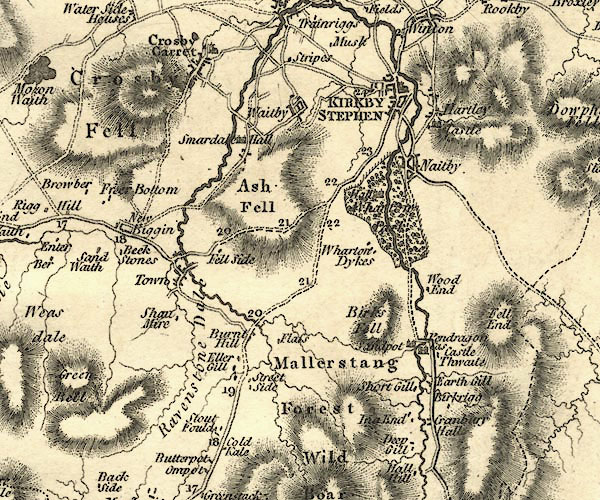 CY24NY70.jpg "Wharton Dykes" block/s, labelled in italic lowercase; house, or hamlet item:- JandMN : 129 Image © see bottom of page |
|
|
|
||
 Lakes Guides menu.