 Old Cumbria Gazetteer
 |
 |
|
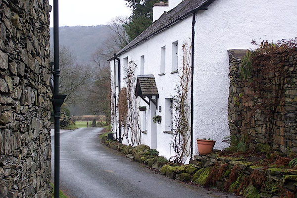
| Water Yeat, Blawith and Subberthwaite | ||
| Water Yeat | ||
| civil parish:- | Blawith and Subberthwaite (formerly Lancashire) | |
| county:- | Cumbria | |
| locality type:- | buildings | |
| coordinates:- | SD288891 | |
| 1Km square:- | SD2889 | |
| 10Km square:- | SD28 | |
|
|
||
 BOK36.jpg (taken 11.1.2008) 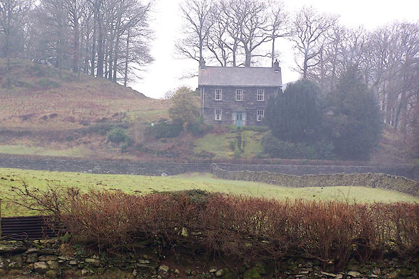 BOK31.jpg (taken 11.1.2008) |
||
|
|
||
| evidence:- | old map:- Crosthwaite 1783-94 (Con) placename:- Water Yeat |
|
| source data:- | Map, uncoloured engraving, An Accurate Map of Coniston Lake,
scale about 3 inches to 1 mile, by Peter Crosthwaite, Keswick,
Cumberland, 1788, version published 1809.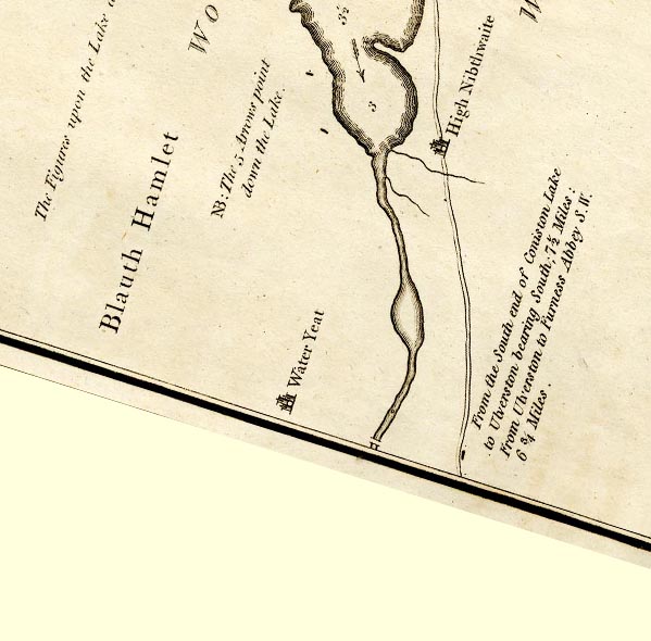 CTESD28Z.jpg "Water Yeat" circle, buildings and tower item:- JandMN : 182.5 Image © see bottom of page |
|
|
|
||
 Lakes Guides menu.